UN/LOCODE hub · United States
USHW2

Chewelah

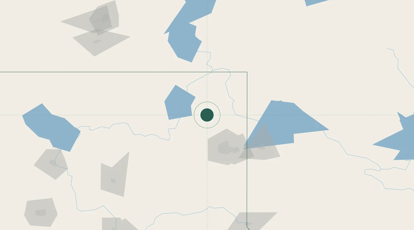
48.2667°, -117.7167°
2,607
Population
2
Transport functions

Transport Functions

Road
Multimodal
UN/LOCODE

Hub Profile

Place type
Populated place
GeoNames
Region
Washington
GeoNames
Population
2,607
GeoNames
Time zone
America/Los_Angeles
GeoNames
Elevation
508 m
GeoNames

Location

Location of USHW2
Natural Earth 10m (public domain) · Washington · USHW2 · 48.27, -117.72GoogleOSMYandex

Nearby Logistics Neighbours

Cities
  1. 1Colville34 km
  2. 2Mead36 km
  3. 3Kettle Falls46 km
  4. 4Airway Heights69 km
  5. 5Fairchild Air Force Base71 km
Nearest neighbours — logibook spatial index (haversine) over the source coordinates
Ports
  1. 1Everett335 km
  2. 2Mukilteo342 km
  3. 3Mission City347 km
  4. 4Seattle352 km
  5. 5Point Wells352 km
Nearest neighbours — logibook spatial index (haversine) over the source coordinates
Airports
  1. 1Felts Field71 km
  2. 2Fairchild Air Force Base73 km
  3. 3Spokane International Airport73 km
  4. 4Coeur D'Alene Airport - Pappy Boyington Field86 km
  5. 5Trail Regional Airport88 km
Nearest neighbours — logibook spatial index (haversine) over the source coordinates
Trade Zones
  1. 1FTZ No. 224 Spokane68 km
  2. 2FTZ No. 242 Boundary County85 km
  3. 3FTZ No. 203 Moses Lake175 km
  4. 4FTZ No. 085 Everett335 km
  5. 5FTZ No. 129 Bellingham359 km
Nearest neighbours — logibook spatial index (haversine) over the source coordinates
DatabookThe Record of Consolidated Knowledge
United States beyond logistics?
Browse databook

All Sources

LocationsUN/LOCODE
UN/LOCODE — free
LocationsGeoNames
CC BY 4.0
Portsthe NGA World Port Index
Public domain (US gov)
AirportsOurAirports
Public domain
Trade Zonesthe World Bank SEZ database
CC BY 4.0
Trade ZonesOpen Zone Map
CC BY
← United States locations