UN/LOCODE hub · United States
USWS5
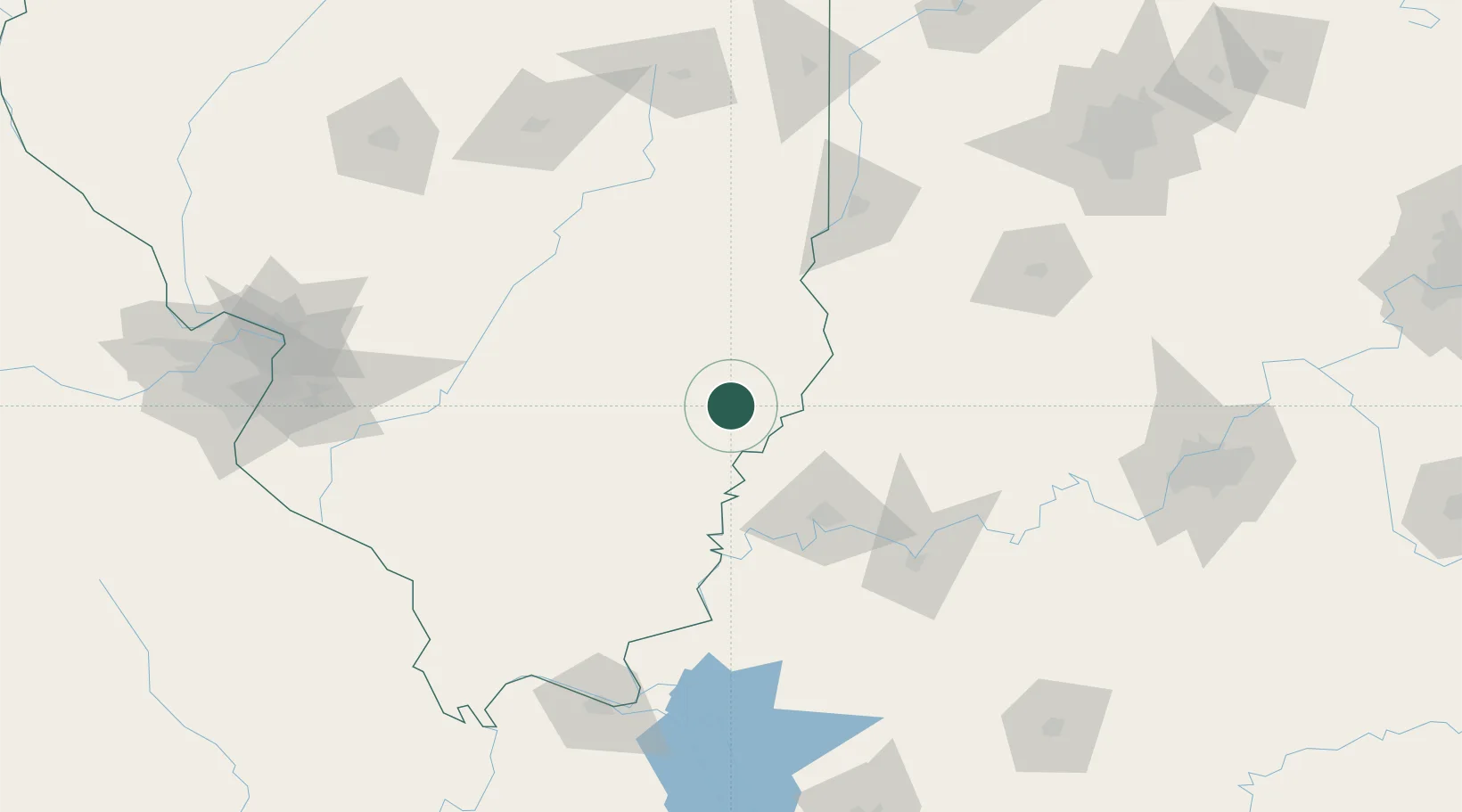
West Salem
38.5167°, -88.0000°
872
Population
1
Transport functions
Transport Functions
Multimodal
Hub Profile
Place type
Populated place
Region
Illinois
Population
872
Time zone
America/Chicago
Elevation
160 m
Location
Nearby Logistics Neighbours
Cities
- 1Mount Carmel23 km
- 2Grayville30 km
- 3Fairfield35 km
- 4Griffin36 km
- 5Owensville39 km
Ports
- 1Gary349 km
- 2Indiana Harbor354 km
- 3Calumet Harbor360 km
- 4Michigan City370 km
- 5Chicago376 km
Airports
Trade Zones
- 1FTZ No. 177 Evansville67 km
- 2FTZ No. 294 Western Kentucky169 km
- 3FTZ No. 245 Decatur175 km
- 4FTZ No. 031 Granite City193 km
- 5FTZ No. 029 Louisville194 km
DatabookThe Record of Consolidated Knowledge
United States beyond logistics?