Transport Functions
Multimodal
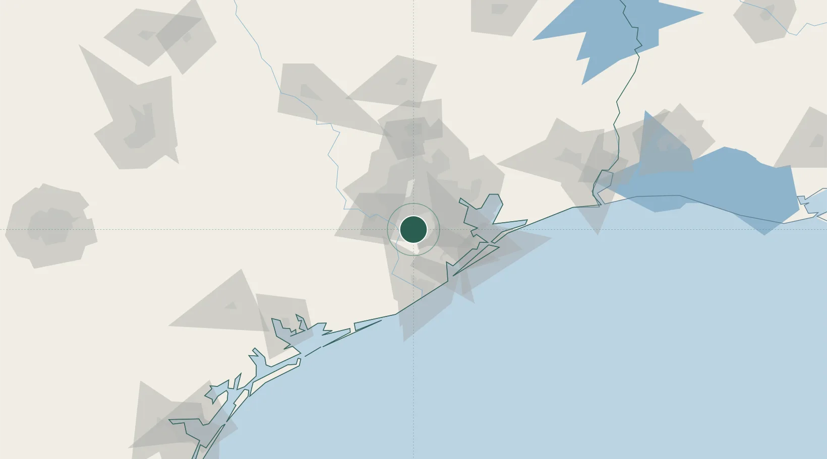
Hub Profile
Place type
Populated place
Region
Texas
Population
1,668
Time zone
America/Chicago
Elevation
20 m
Location
Nearby Logistics Neighbours
Cities
- 1Fresno4 km
- 2Missouri City15 km
- 3Sugar Land22 km
- 4Friendswood25 km
- 5South Houston28 km
Ports
- 1Deer Park32 km
- 2Houston34 km
- 3Pasadena34 km
- 4Baytown50 km
- 5Texas City53 km
Airports
Trade Zones
- 1FTZ No. 084 Harris County38 km
- 2FTZ No. 199 Texas City52 km
- 3FTZ No. 149 Freeport60 km
- 4FTZ No. 036 Galveston66 km
- 5FTZ No. 171 Liberty County86 km
DatabookThe Record of Consolidated Knowledge
United States beyond logistics?