UN/LOCODE hub · United States
USMB3
Morse Bluff
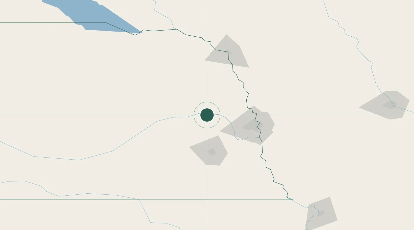
41.4333°, -96.7667°
135
Population
2
Transport functions
Transport Functions
Road
Multimodal
Hub Profile
Place type
Populated place
Region
Nebraska
Population
135
Time zone
America/Chicago
Elevation
391 m
Location
Nearby Logistics Neighbours
Cities
- 1North Bend4 km
- 2Cedar Bluffs15 km
- 3Wahoo29 km
- 4Mead33 km
- 5David City36 km
Ports
- 1Superior698 km
- 2Duluth700 km
- 3Two Harbors742 km
- 4Ashland743 km
- 5Washburn748 km
Airports
- 1Columbus Municipal Airport48 km
- 2Lincoln Airport65 km
- 3Eppley Airfield74 km
- 4Offutt Air Force Base80 km
- 5Karl Stefan Memorial Airport83 km
Trade Zones
- 1FTZ No. 059 Lincoln71 km
- 2FTZ No. 133 Quad-Cities, Iowa Illinois148 km
- 3FTZ No. 288 Northwest Iowa201 km
- 4FTZ No. 220 Sioux Falls236 km
- 5FTZ No. 107 Polk County256 km
DatabookThe Record of Consolidated Knowledge
United States beyond logistics?