Transport Functions
Port
Hub Profile
Place type
Provincial seat
Region
Missouri
Population
915
Time zone
America/Chicago
Elevation
229 m
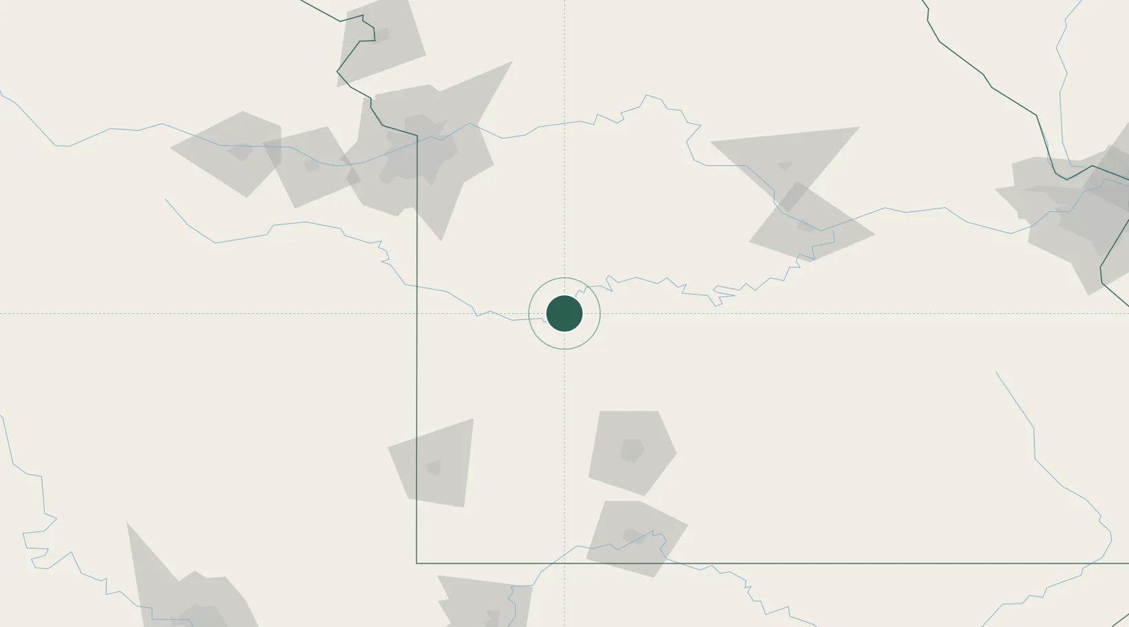
Location
Nearby Logistics Neighbours
Cities
- 1Clinton36 km
- 2Harwood41 km
- 3Huron48 km
- 4Macks Creek65 km
- 5Green Ridge68 km
Ports
- 1Port Of Memphis458 km
- 2Calumet Harbor668 km
- 3Indiana Harbor669 km
- 4Chicago672 km
- 5Gary673 km
Airports
Trade Zones
- 1FTZ No. 225 Springfield106 km
- 2FTZ No. 015 Kansas City136 km
- 3FTZ No. 017 Kansas City153 km
- 4FTZ No. 102 St. Louis County269 km
- 5FTZ No. 053 Rogers County270 km
DatabookThe Record of Consolidated Knowledge
United States beyond logistics?