Transport Functions
Port
Multimodal
Hub Profile
Place type
Populated place
Region
Missouri
Time zone
America/Chicago
Elevation
346 m
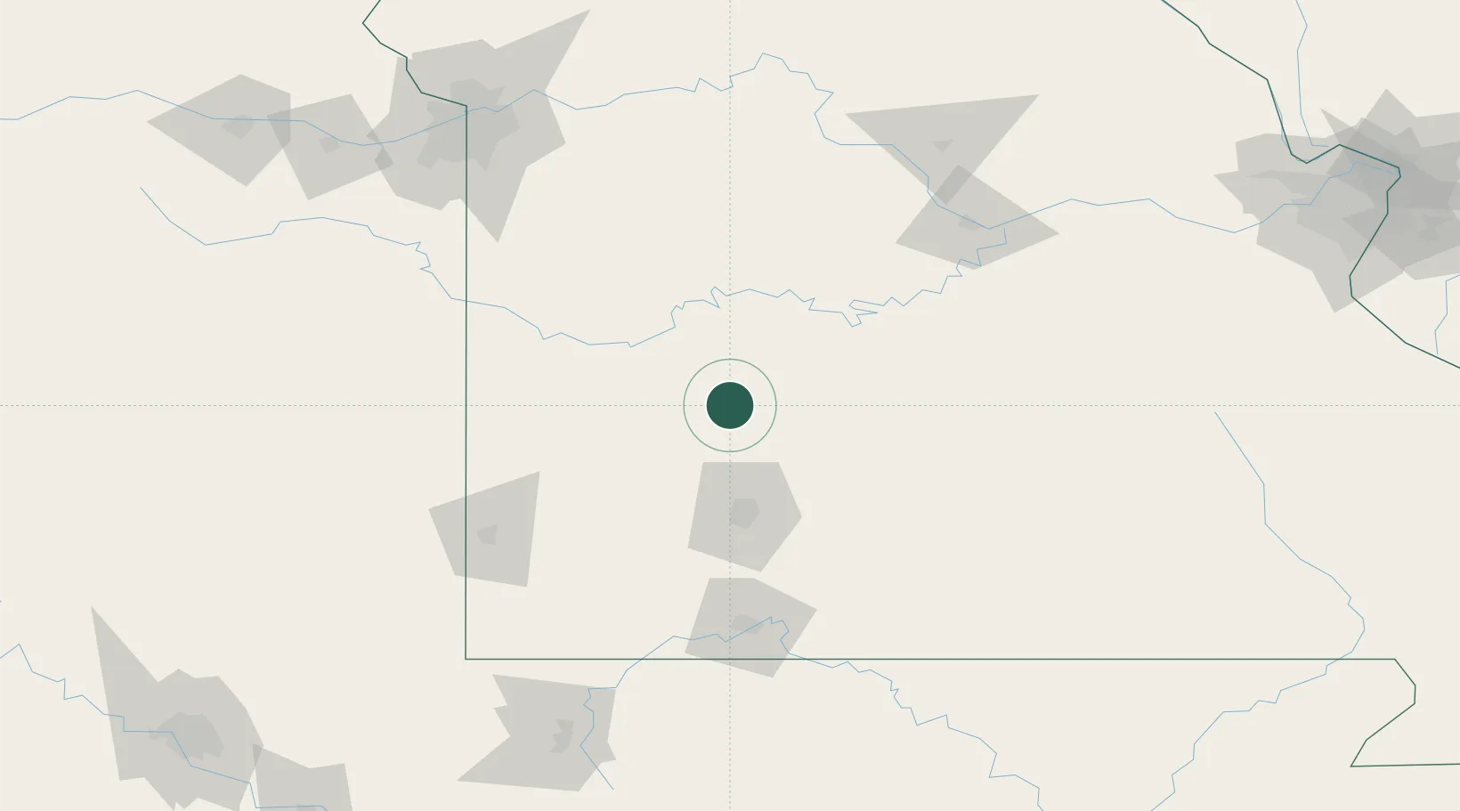
Location
Nearby Logistics Neighbours
Cities
- 1Brighton30 km
- 2Macks Creek43 km
- 3Willard47 km
- 4Osceola48 km
- 5Marshfield58 km
Ports
- 1Port Of Memphis410 km
- 2Calumet Harbor669 km
- 3Indiana Harbor670 km
- 4Gary673 km
- 5Chicago675 km
Airports
Trade Zones
- 1FTZ No. 225 Springfield60 km
- 2FTZ No. 015 Kansas City184 km
- 3FTZ No. 017 Kansas City202 km
- 4FTZ No. 102 St. Louis County253 km
- 5FTZ No. 053 Rogers County270 km
DatabookThe Record of Consolidated Knowledge
United States beyond logistics?