Transport Functions
Road
Multimodal
Hub Profile
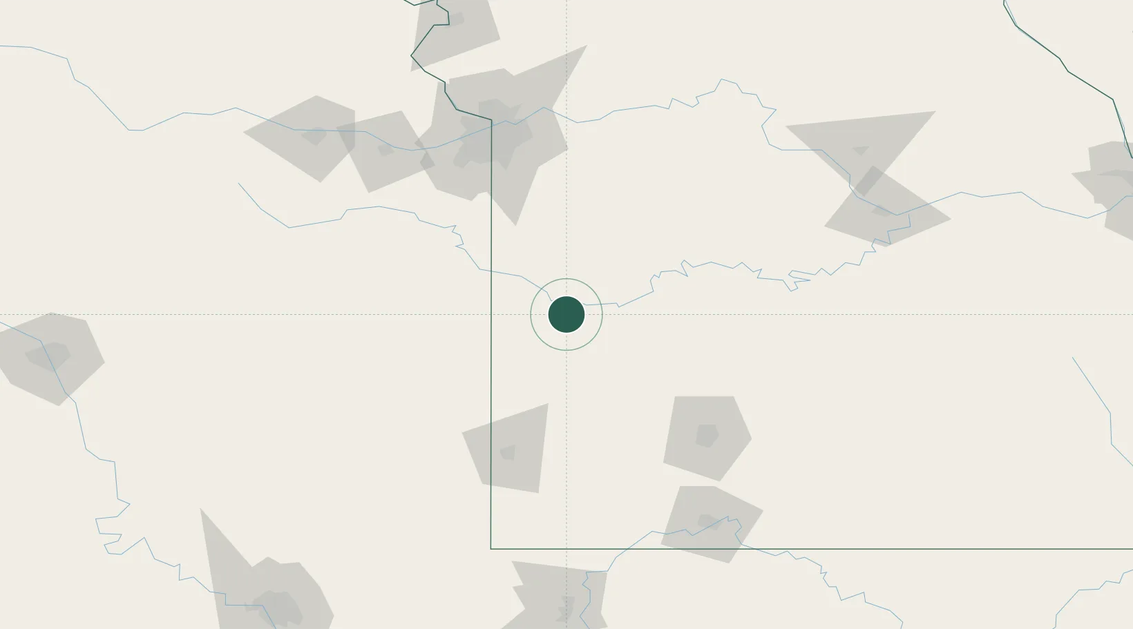
Place type
Populated place
Region
Missouri
Population
47
Time zone
America/Chicago
Elevation
256 m
Location
Nearby Logistics Neighbours
Ports
- 1Port Of Memphis479 km
- 2Calumet Harbor705 km
- 3Indiana Harbor707 km
- 4Chicago709 km
- 5Gary711 km
Airports
Trade Zones
- 1FTZ No. 015 Kansas City118 km
- 2FTZ No. 225 Springfield121 km
- 3FTZ No. 017 Kansas City141 km
- 4FTZ No. 053 Rogers County234 km
- 5FTZ No. 164 Muskogee272 km
DatabookThe Record of Consolidated Knowledge
United States beyond logistics?