UN/LOCODE hub · United States
USLRG
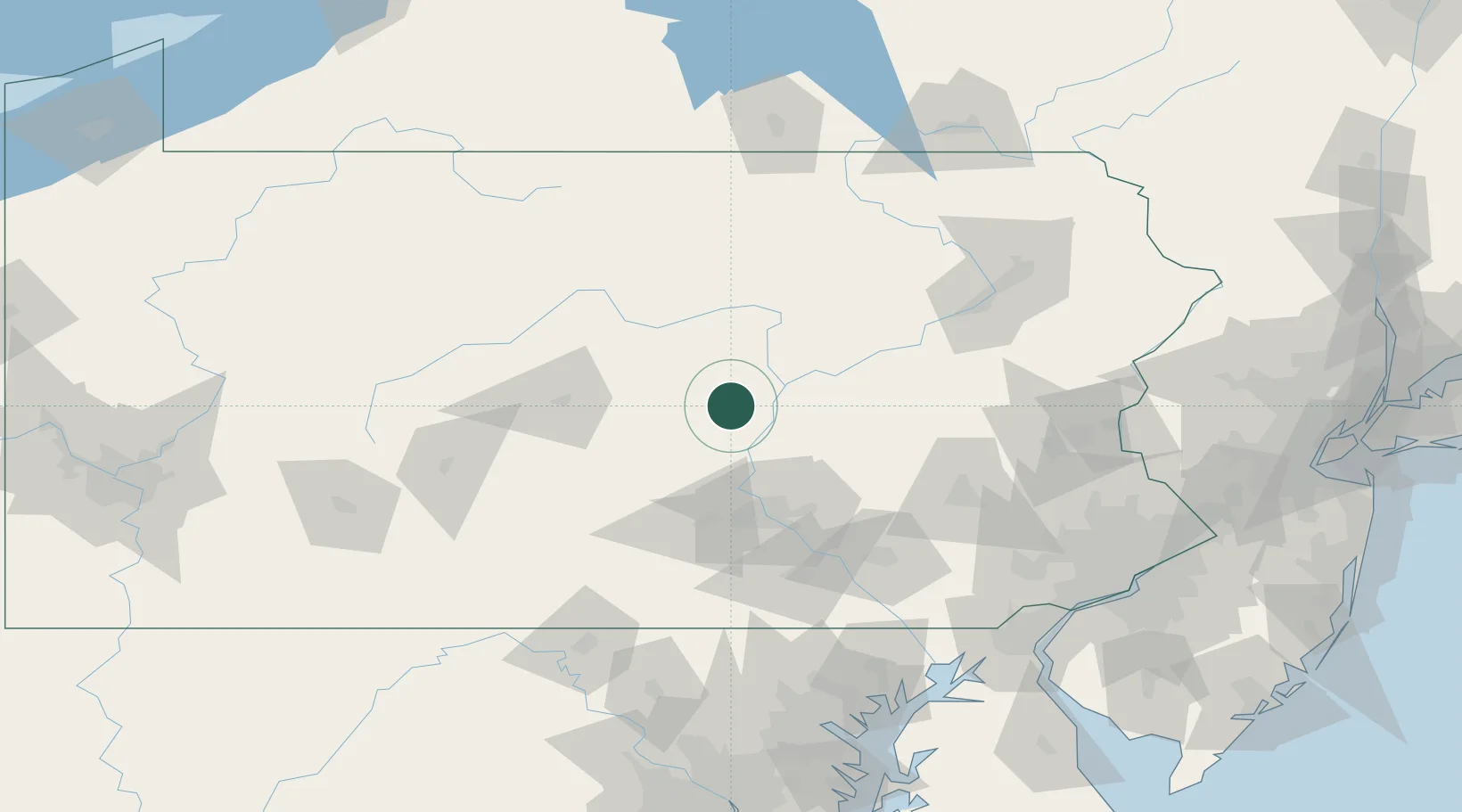
Middleburg
40.7833°, -77.0500°
1,314
Population
2
Transport functions
Transport Functions
Road
Multimodal
Hub Profile
Place type
Provincial seat
Region
Pennsylvania
Population
1,314
Time zone
America/New_York
Elevation
148 m
Location
Nearby Logistics Neighbours
Cities
- 1Winfield22 km
- 2Berrysburg27 km
- 3Millersburg29 km
- 4New Columbia32 km
- 5Gratz34 km
Ports
- 1Havre De Grace162 km
- 2Wilmington173 km
- 3Baltimore173 km
- 4Marcus Hook175 km
- 5Deepwater Point177 km
Airports
Trade Zones
DatabookThe Record of Consolidated Knowledge
United States beyond logistics?