UN/LOCODE hub · United States
USBP4
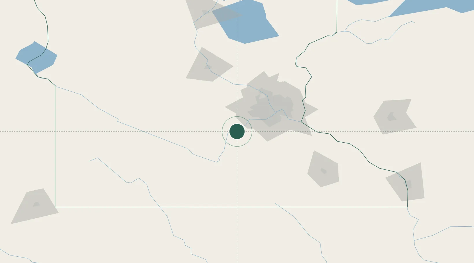
Belle Plaine
44.6167°, -93.7667°
6,918
Population
2
Transport functions
Transport Functions
Road
Multimodal
Hub Profile
Place type
Populated place
Region
Minnesota
Population
6,918
Time zone
America/Chicago
Elevation
261 m
Location
Nearby Logistics Neighbours
Cities
- 1Jordan, Scott12 km
- 2Henderson15 km
- 3Bongards16 km
- 4Norwood21 km
- 5Le Sueur21 km
Ports
- 1Superior270 km
- 2Duluth272 km
- 3Two Harbors313 km
- 4Ashland315 km
- 5Washburn320 km
Airports
Trade Zones
- 1FTZ No. 119 Minneapolis-St. Paul57 km
- 2FTZ No. 288 Northwest Iowa246 km
- 3FTZ No. 051 Duluth266 km
- 4FTZ No. 220 Sioux Falls269 km
- 5FTZ No. 107 Polk County327 km
DatabookThe Record of Consolidated Knowledge
United States beyond logistics?