Transport Functions
Rail
Road
Hub Profile
Place type
Populated place
Region
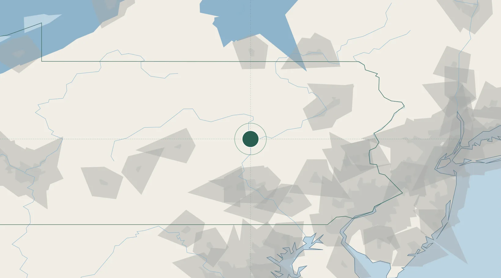
Pennsylvania
Population
900
Time zone
America/New_York
Elevation
136 m
Location
Nearby Logistics Neighbours
Cities
- 1New Columbia13 km
- 2Watsontown19 km
- 3Allenwood21 km
- 4Middleburg22 km
- 5Elysburg26 km
Ports
- 1Havre De Grace167 km
- 2Wilmington172 km
- 3Marcus Hook172 km
- 4Chester174 km
- 5Deepwater Point176 km
Airports
Trade Zones
DatabookThe Record of Consolidated Knowledge
United States beyond logistics?