UN/LOCODE hub · United States
USXGG
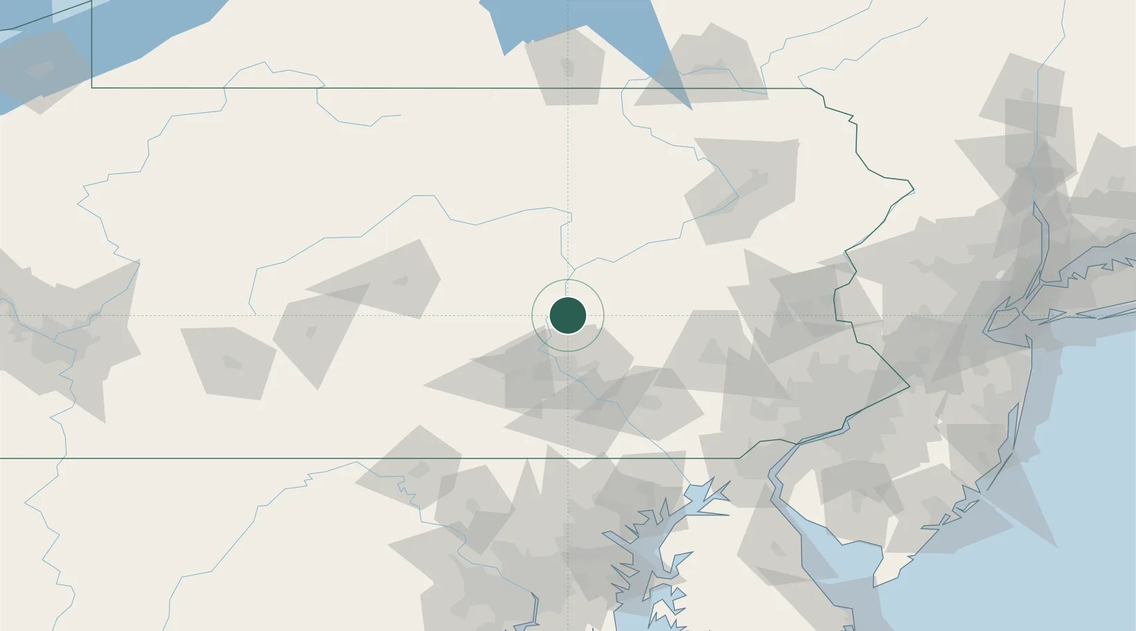
Berrysburg
40.6000°, -76.8333°
371
Population
2
Transport functions
Transport Functions
Road
Multimodal
Hub Profile
Place type
Populated place
Region
Pennsylvania
Population
371
Time zone
America/New_York
Elevation
220 m
Location
Nearby Logistics Neighbours
Cities
- 1Elizabethville8 km
- 2Gratz10 km
- 3Lykens12 km
- 4Millersburg12 km
- 5Halifax16 km
Ports
- 1Havre De Grace135 km
- 2Wilmington146 km
- 3Marcus Hook149 km
- 4Baltimore150 km
- 5Deepwater Point150 km
Airports
Trade Zones
DatabookThe Record of Consolidated Knowledge
United States beyond logistics?