Transport Functions
Road
Multimodal
Hub Profile
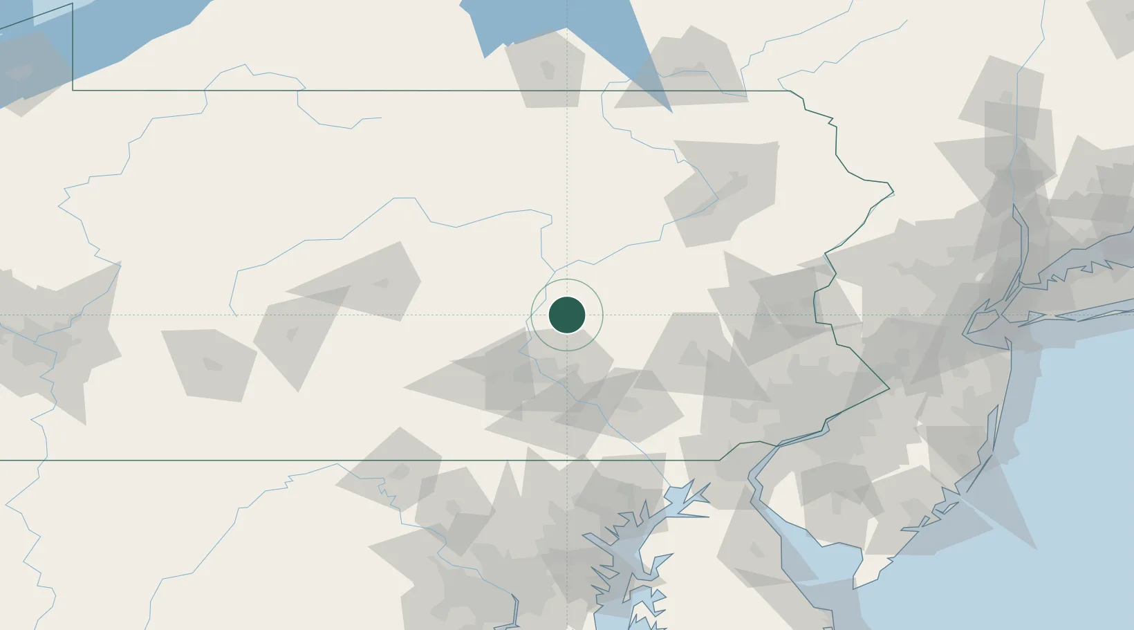
Place type
Populated place
Region
Pennsylvania
Population
754
Time zone
America/New_York
Elevation
249 m
Location
Nearby Logistics Neighbours
Cities
- 1Lykens6 km
- 2Berrysburg10 km
- 3Elizabethville12 km
- 4Millersburg22 km
- 5Coal Township23 km
Ports
- 1Havre De Grace132 km
- 2Wilmington140 km
- 3Marcus Hook142 km
- 4Chester144 km
- 5Deepwater Point144 km
Airports
Trade Zones
DatabookThe Record of Consolidated Knowledge
United States beyond logistics?