UN/LOCODE hub · United States
USLHL
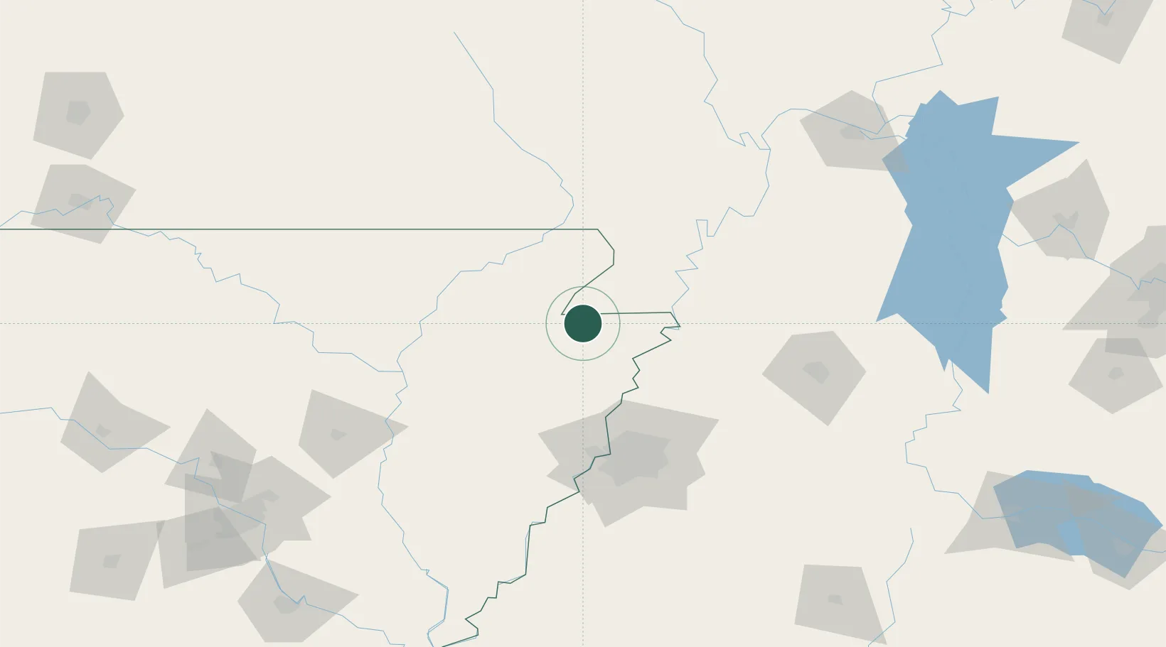
Leachville
35.9333°, -90.2500°
1,868
Population
2
Transport functions
Transport Functions
Road
Multimodal
Hub Profile
Place type
Populated place
Region
Arkansas
Population
1,868
Time zone
America/Chicago
Elevation
73 m
Location
Nearby Logistics Neighbours
Ports
- 1Port Of Memphis97 km
- 2Madisonville615 km
- 3Baton Rouge616 km
- 4Mobile617 km
- 5Biloxi630 km
Airports
Trade Zones
- 1FTZ No. 283 West Tennessee56 km
- 2FTZ No. 273 West Memphis88 km
- 3FTZ No. 077 Memphis90 km
- 4FTZ No. 223 Memphis90 km
- 5FTZ No. 262 Southaven111 km
DatabookThe Record of Consolidated Knowledge
United States beyond logistics?