UN/LOCODE hub · United States
USLPH
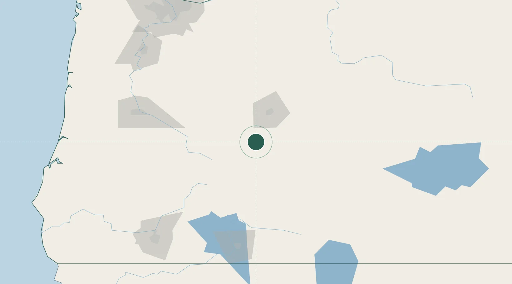
La Pine
43.6667°, -121.5000°
1,777
Population
1
Transport functions
Transport Functions
Multimodal
Hub Profile
Place type
Populated place
Region
Oregon
Population
1,777
Time zone
America/Los_Angeles
Elevation
1,291 m
Location
Nearby Logistics Neighbours
Cities
- 1Sisters69 km
- 2Terrebonne81 km
- 3Fort Klamath114 km
- 4Saginaw124 km
- 5Cottage Grove125 km
Ports
- 1Gardiner209 km
- 2Florence213 km
- 3The Dalles216 km
- 4North Bend221 km
- 5Toledo221 km
Airports
- 1Roberts Field71 km
- 2Eugene Airport146 km
- 3Crater Lake-Klamath Regional Airport169 km
- 4Corvallis Municipal Airport170 km
- 5Rogue Valley International-Medford Airport182 km
Trade Zones
- 1FTZ No. 132 Coos County222 km
- 2FTZ No. 045 Portland232 km
- 3FTZ No. 296 Vancouver239 km
- 4FTZ No. 255 Washington County257 km
- 5FTZ No. 120 Cowlitz County297 km
DatabookThe Record of Consolidated Knowledge
United States beyond logistics?