UN/LOCODE hub · United States
USNJQ
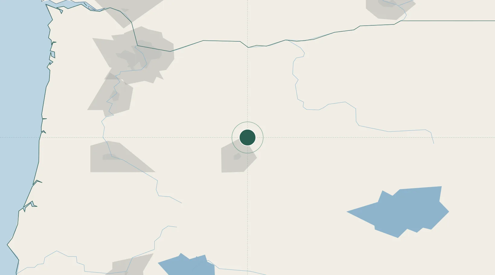
Terrebonne
44.3500°, -121.1667°
1,257
Population
2
Transport functions
Transport Functions
Port
Multimodal
Hub Profile
Place type
Populated place
Region
Oregon
Population
1,257
Time zone
America/Los_Angeles
Elevation
875 m
Location
Nearby Logistics Neighbours
Cities
- 1Sisters30 km
- 2La Pine81 km
- 3Lyons124 km
- 4Brightwood131 km
- 5Scio138 km
Ports
- 1The Dalles139 km
- 2Washougal166 km
- 3Camas168 km
- 4Portland175 km
- 5Vancouver186 km
Airports
- 1Roberts Field11 km
- 2Columbia Gorge Regional Airport141 km
- 3Salem-Willamette Valley Airport/McNary Field158 km
- 4Aurora State Airport161 km
- 5Eugene Airport165 km
Trade Zones
- 1FTZ No. 045 Portland184 km
- 2FTZ No. 296 Vancouver187 km
- 3FTZ No. 255 Washington County220 km
- 4FTZ No. 120 Cowlitz County244 km
- 5FTZ No. 132 Coos County268 km
DatabookThe Record of Consolidated Knowledge
United States beyond logistics?