UN/LOCODE hub · United States
USYER
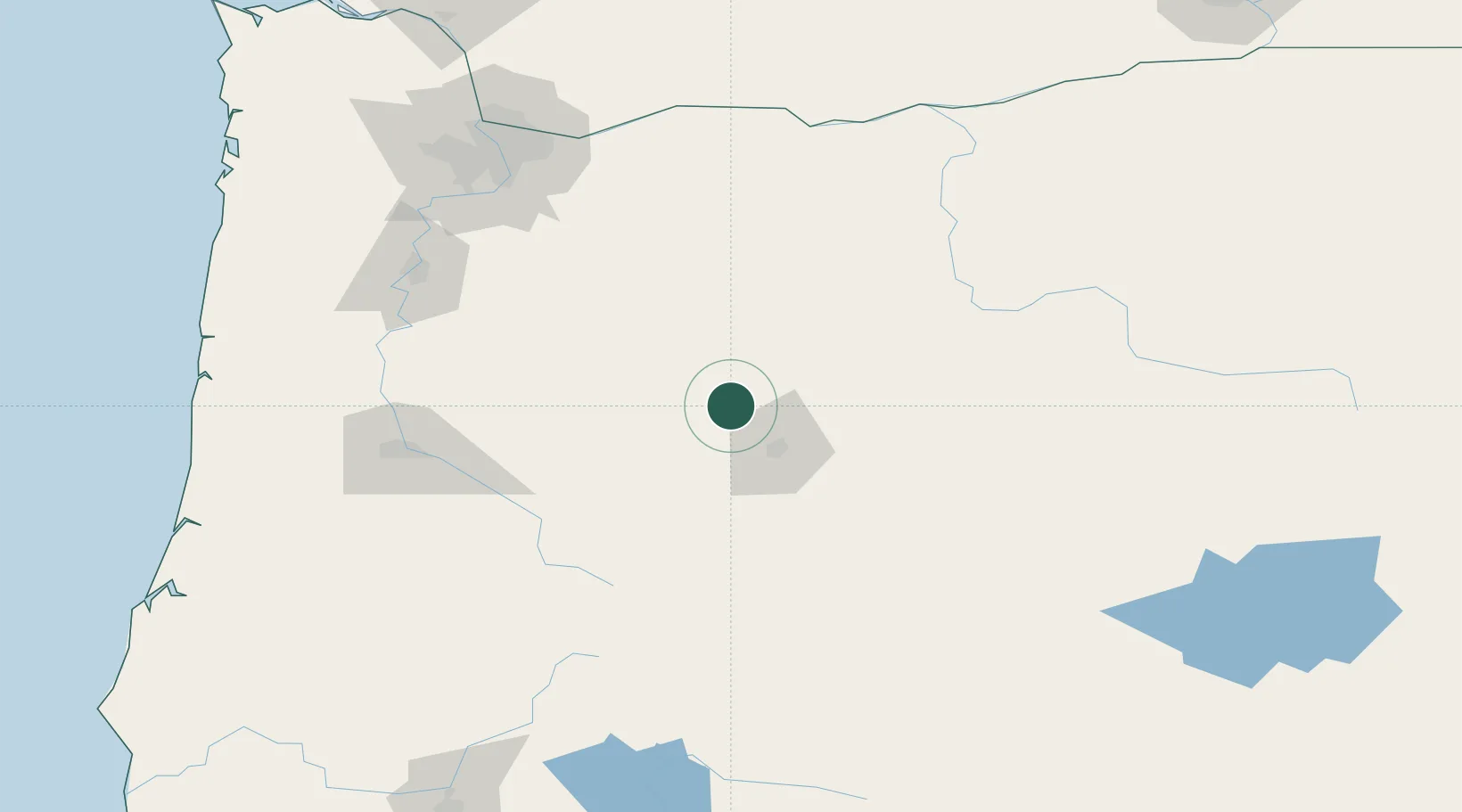
Sisters
44.2833°, -121.5333°
2,472
Population
3
Transport functions
Transport Functions
Port
Road
Multimodal
Hub Profile
Place type
Populated place
Region
Oregon
Population
2,472
Time zone
America/Los_Angeles
Elevation
973 m
Location
Nearby Logistics Neighbours
Cities
- 1Terrebonne30 km
- 2La Pine69 km
- 3Lyons101 km
- 4Scio113 km
- 5Aumsville122 km
Ports
- 1The Dalles149 km
- 2Washougal158 km
- 3Camas160 km
- 4Portland164 km
- 5Vancouver175 km
Airports
- 1Roberts Field31 km
- 2Eugene Airport135 km
- 3Salem-Willamette Valley Airport/McNary Field136 km
- 4Corvallis Municipal Airport142 km
- 5Aurora State Airport145 km
Trade Zones
- 1FTZ No. 045 Portland172 km
- 2FTZ No. 296 Vancouver176 km
- 3FTZ No. 255 Washington County203 km
- 4FTZ No. 120 Cowlitz County235 km
- 5FTZ No. 132 Coos County238 km
DatabookThe Record of Consolidated Knowledge
United States beyond logistics?