UN/LOCODE hub · United States
USTGG
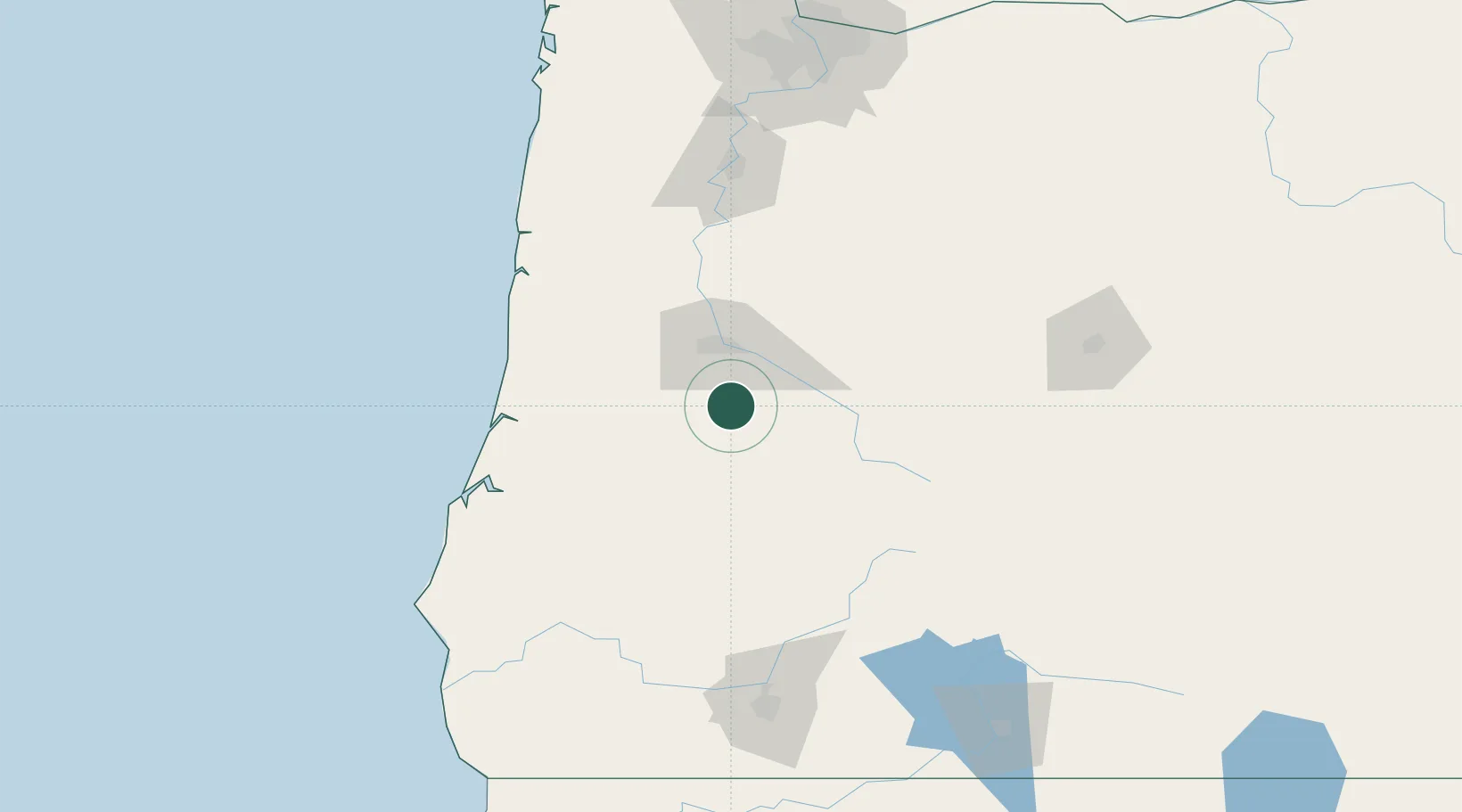
Cottage Grove
43.7833°, -123.0500°
9,969
Population
2
Transport functions
Transport Functions
Rail
Road
Hub Profile
Place type
Populated place
Region
Oregon
Population
9,969
Time zone
America/Los_Angeles
Elevation
196 m
Location
Nearby Logistics Neighbours
Cities
- 1Saginaw4 km
- 2Drain25 km
- 3Noti43 km
- 4Oakland43 km
- 5Junction City50 km
Ports
- 1Gardiner85 km
- 2Florence88 km
- 3North Bend103 km
- 4Coos Bay105 km
- 5Toledo116 km
Airports
Trade Zones
- 1FTZ No. 132 Coos County105 km
- 2FTZ No. 045 Portland197 km
- 3FTZ No. 255 Washington County198 km
- 4FTZ No. 296 Vancouver208 km
- 5FTZ No. 120 Cowlitz County260 km
DatabookThe Record of Consolidated Knowledge
United States beyond logistics?