Medium airport · United States
Roberts FieldKRDM
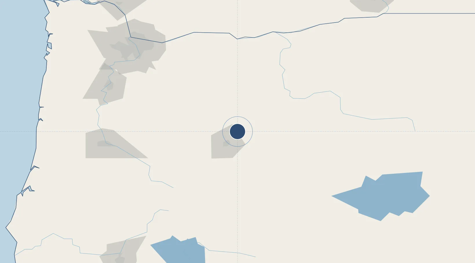
44.2541°, -121.1500°
7,038 ft
Longest runway
2
Runways
3,080 ft
Elevation
Runway & Layout

Radio Frequencies
ASOS
119.025 MHz
TWR
124.5 MHz
REDMOND TWR
GND
121.8 MHz
CTAF
124.5 MHz
CNTR
128.15 MHz
SEATTLE CNTR
RDO
122.5 MHz
MC MINNVILLE RDO
UNIC
122.95 MHz
UNICOM
Navaids
RD NDB Bodey 411 kHz
Runways · 2
| Runway | Dimensions | Surface | True heading | Lit |
|---|---|---|---|---|
| 05/23 | 7,038 × 150ft | Asphalt | 060° | ✓ |
| 11/29 | 7,006 × 100ft | Asphalt | 122° | ✓ |
Airport Specifications
IATA code
RDM
ICAO code
KRDM
Airport class
Medium airport
Scheduled service
Yes
Runway surface
Asphalt
Served city
Redmond
Location
Nearby Logistics Neighbours
Airports
- 1Columbia Gorge Regional Airport152 km
- 2Salem-Willamette Valley Airport/McNary Field164 km
- 3Eugene Airport165 km
- 4Aurora State Airport169 km
- 5Corvallis Municipal Airport172 km
Cities
- 1Terrebonne11 km
- 2Sisters31 km
- 3La Pine71 km
- 4Lyons130 km
- 5Brightwood141 km
Ports
- 1The Dalles150 km
- 2Washougal175 km
- 3Camas178 km
- 4Portland184 km
- 5Vancouver195 km
Trade Zones
- 1FTZ No. 045 Portland193 km
- 2FTZ No. 296 Vancouver196 km
- 3FTZ No. 255 Washington County228 km
- 4FTZ No. 120 Cowlitz County253 km
- 5FTZ No. 132 Coos County265 km
DatabookThe Record of Consolidated Knowledge
United States beyond logistics?