UN/LOCODE hub · United States
USAGA

Saginaw

43.8167°, -123.0333°
3
Transport functions

Transport Functions

Rail
Road
Multimodal
UN/LOCODE

Hub Profile

Place type
Populated place
GeoNames
Region
Oregon
GeoNames
Time zone
America/Los_Angeles
GeoNames
Elevation
189 m
GeoNames

Location

Location of USAGA
Natural Earth 10m (public domain) · Oregon · USAGA · 43.82, -123.03GoogleOSMYandex

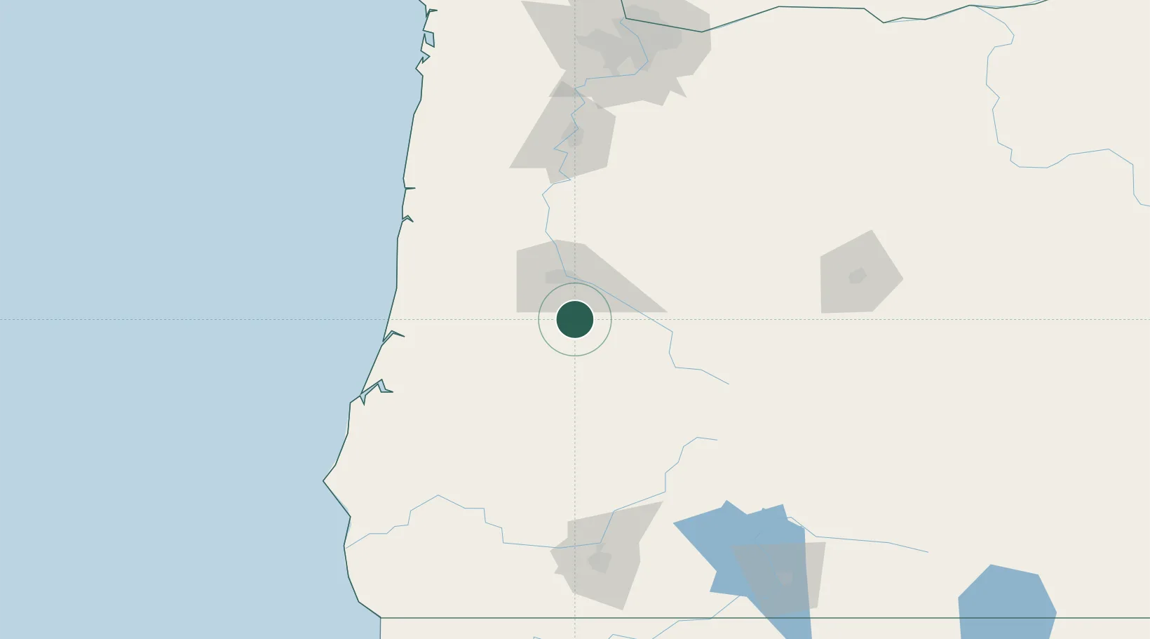
Nearby Logistics Neighbours

Cities
  1. 1Cottage Grove4 km
  2. 2Drain28 km
  3. 3Noti41 km
  4. 4Junction City46 km
  5. 5Oakland47 km
Nearest neighbours — logibook spatial index (haversine) over the source coordinates
Ports
  1. 1Gardiner86 km
  2. 2Florence88 km
  3. 3North Bend106 km
  4. 4Coos Bay108 km
  5. 5Toledo114 km
Nearest neighbours — logibook spatial index (haversine) over the source coordinates
Airports
  1. 1Eugene Airport37 km
  2. 2Corvallis Municipal Airport78 km
  3. 3Southwest Oregon Regional Airport107 km
  4. 4Newport Municipal Airport118 km
  5. 5Salem-Willamette Valley Airport/McNary Field122 km
Nearest neighbours — logibook spatial index (haversine) over the source coordinates
Trade Zones
  1. 1FTZ No. 132 Coos County108 km
  2. 2FTZ No. 045 Portland193 km
  3. 3FTZ No. 255 Washington County195 km
  4. 4FTZ No. 296 Vancouver204 km
  5. 5FTZ No. 120 Cowlitz County256 km
Nearest neighbours — logibook spatial index (haversine) over the source coordinates
DatabookThe Record of Consolidated Knowledge
United States beyond logistics?
Browse databook

All Sources

LocationsUN/LOCODE
UN/LOCODE — free
Portsthe NGA World Port Index
Public domain (US gov)
AirportsOurAirports
Public domain
Trade Zonesthe World Bank SEZ database
CC BY 4.0
Trade ZonesOpen Zone Map
CC BY
← United States locations