UN/LOCODE hub · United States
USCWW
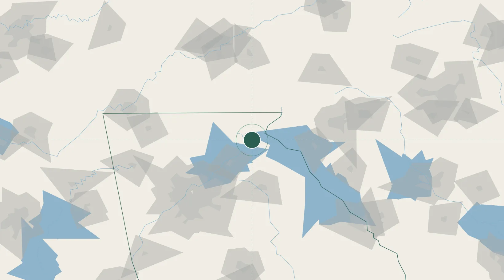
Clarkesville
34.6167°, -83.5333°
1,746
Population
2
Transport functions
Transport Functions
Port
Road
Hub Profile
Place type
Provincial seat
Region
Georgia
Population
1,746
Time zone
America/New_York
Elevation
413 m
Location
Nearby Logistics Neighbours
Cities
- 1Alto17 km
- 2Helen19 km
- 3Clermont27 km
- 4Lula28 km
- 5Eastanollee28 km
Ports
- 1Beaufort360 km
- 2Savannah362 km
- 3Port Royal364 km
- 4Charleston392 km
- 5Darien411 km
Airports
Trade Zones
- 1FTZ No. 038 Spartanburg County121 km
- 2FTZ No. 026 Atlanta124 km
- 3FTZ No. 148 Knoxville165 km
- 4FTZ No. 134 Chattanooga177 km
- 5FTZ No. 204 Tri-Cities231 km
DatabookThe Record of Consolidated Knowledge
United States beyond logistics?