Transport Functions
Port
Road
Multimodal
Hub Profile
Place type
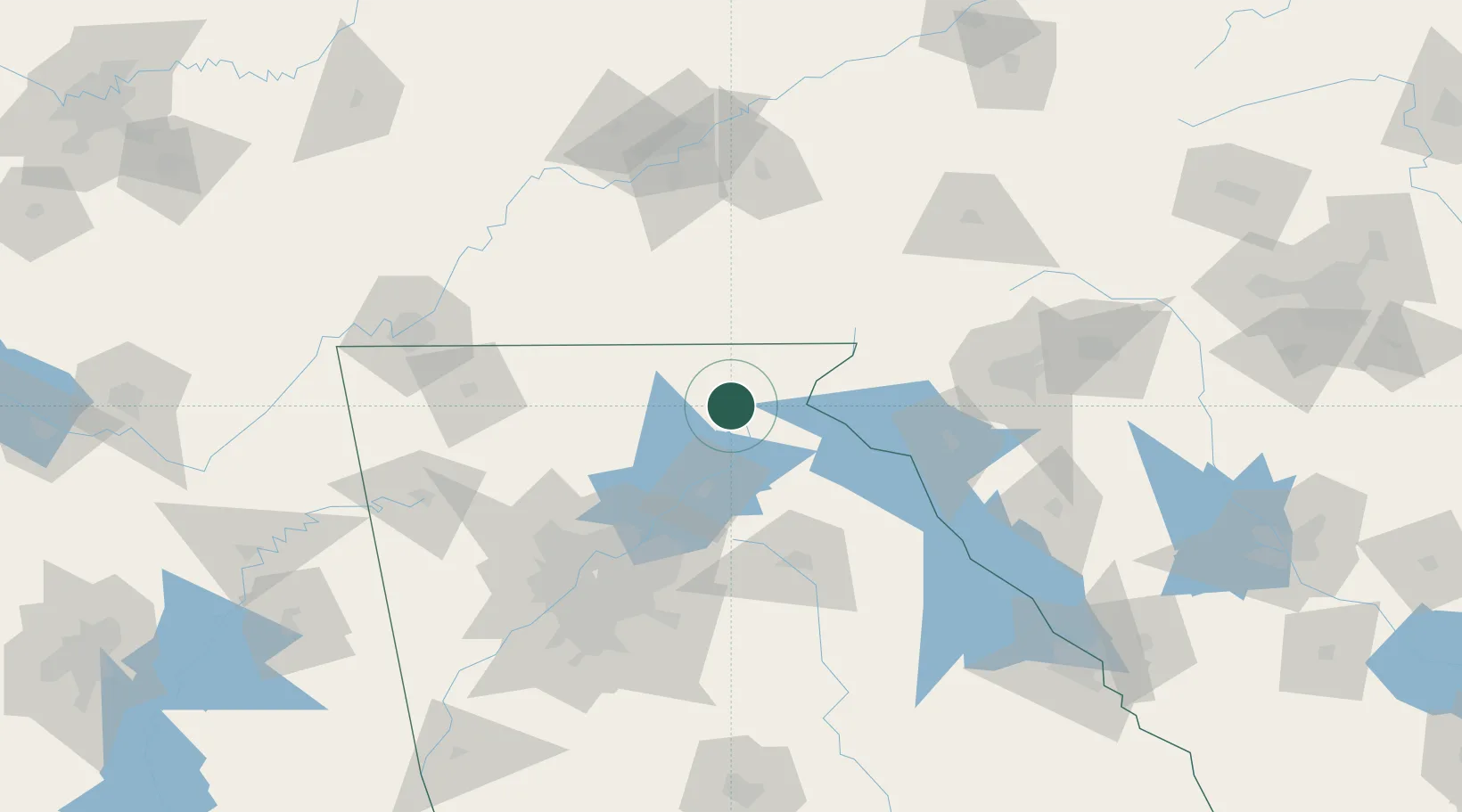
Populated place
Region
Georgia
Population
532
Time zone
America/New_York
Elevation
441 m
Location
Nearby Logistics Neighbours
Cities
- 1Clarkesville19 km
- 2Blairesville26 km
- 3Clermont26 km
- 4Alto29 km
- 5Blairsville31 km
Ports
- 1Beaufort379 km
- 2Savannah380 km
- 3Port Royal383 km
- 4Charleston411 km
- 5Darien427 km
Airports
Trade Zones
- 1FTZ No. 026 Atlanta121 km
- 2FTZ No. 038 Spartanburg County136 km
- 3FTZ No. 148 Knoxville151 km
- 4FTZ No. 134 Chattanooga158 km
- 5FTZ No. 204 Tri-Cities231 km
DatabookThe Record of Consolidated Knowledge
United States beyond logistics?