Transport Functions
Rail
Road
Multimodal
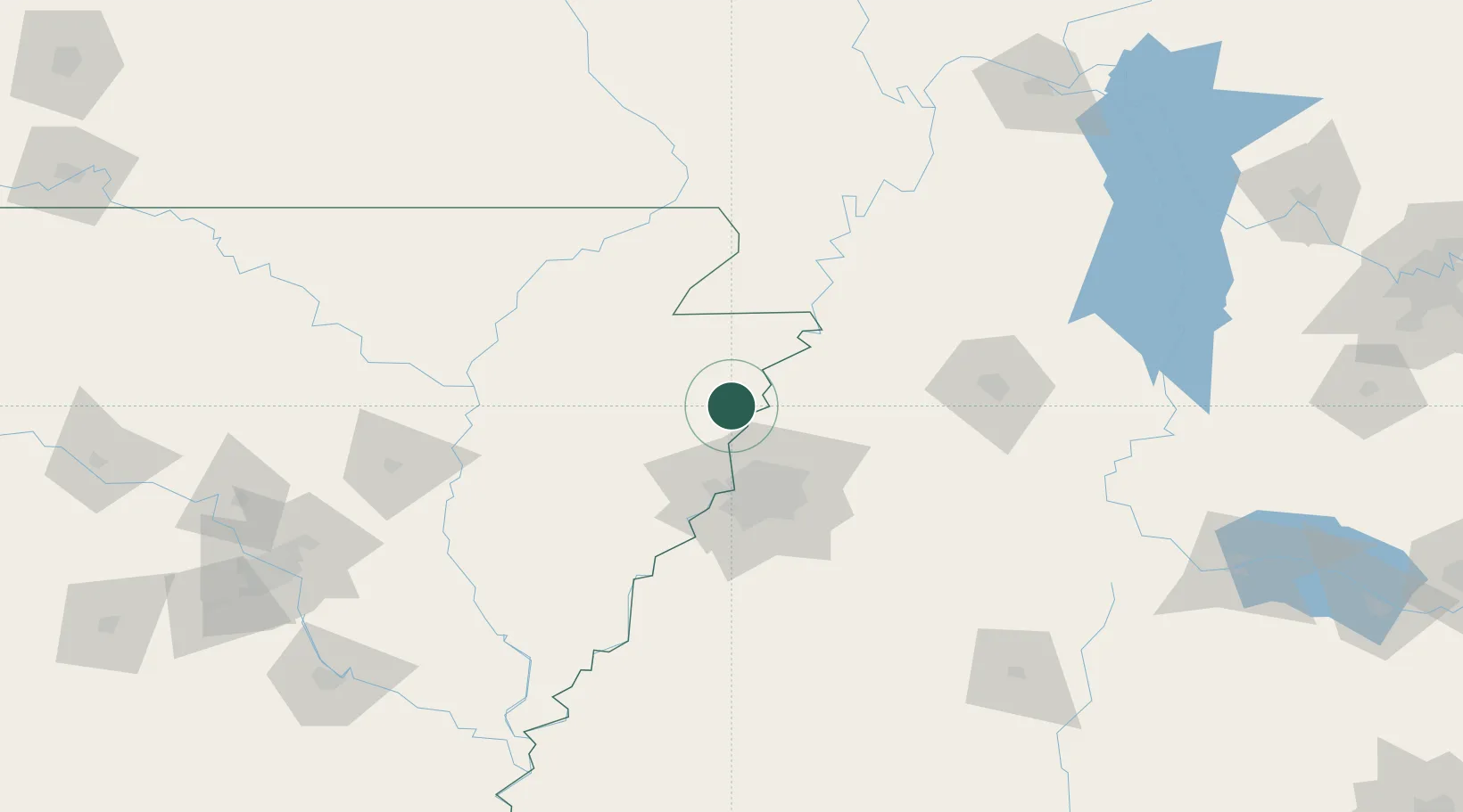
Hub Profile
Place type
Populated place
Region
Arkansas
Time zone
America/Chicago
Elevation
72 m
Location
Nearby Logistics Neighbours
Cities
- 1Burlison29 km
- 2Marked Tree29 km
- 3Dell34 km
- 4Trumann38 km
- 5Leachville45 km
Ports
- 1Port Of Memphis54 km
- 2Mobile572 km
- 3Madisonville573 km
- 4Baton Rouge576 km
- 5Biloxi586 km
Airports
Trade Zones
- 1FTZ No. 283 West Tennessee45 km
- 2FTZ No. 273 West Memphis46 km
- 3FTZ No. 223 Memphis47 km
- 4FTZ No. 077 Memphis49 km
- 5FTZ No. 262 Southaven67 km
DatabookThe Record of Consolidated Knowledge
United States beyond logistics?