UN/LOCODE hub · United States
USZRU
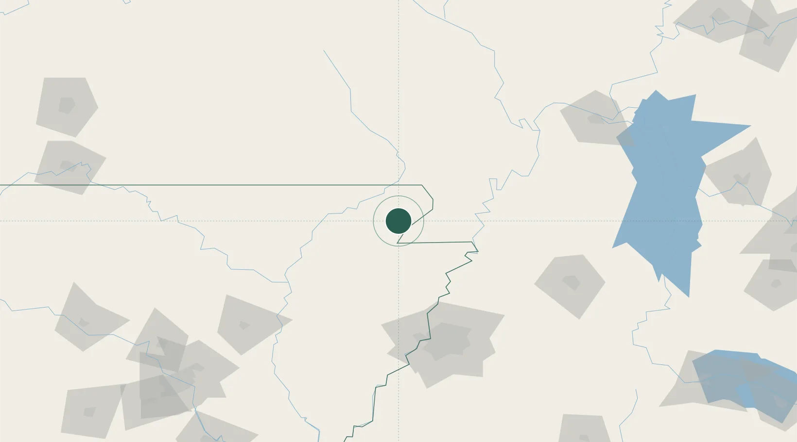
Marmaduke
36.1833°, -90.3667°
1,216
Population
3
Transport functions
Transport Functions
Rail
Road
Multimodal
Hub Profile
Place type
Populated place
Region
Arkansas
Population
1,216
Time zone
America/Chicago
Elevation
85 m
Location
Nearby Logistics Neighbours
Cities
- 1Arbyrd19 km
- 2Knobel26 km
- 3Leachville30 km
- 4Holland47 km
- 5Dell48 km
Ports
- 1Port Of Memphis126 km
- 2Baton Rouge642 km
- 3Madisonville643 km
- 4Mobile646 km
- 5Gary659 km
Airports
Trade Zones
- 1FTZ No. 283 West Tennessee79 km
- 2FTZ No. 273 West Memphis117 km
- 3FTZ No. 077 Memphis118 km
- 4FTZ No. 223 Memphis120 km
- 5FTZ No. 262 Southaven141 km
DatabookThe Record of Consolidated Knowledge
United States beyond logistics?