Transport Functions
Rail
Road
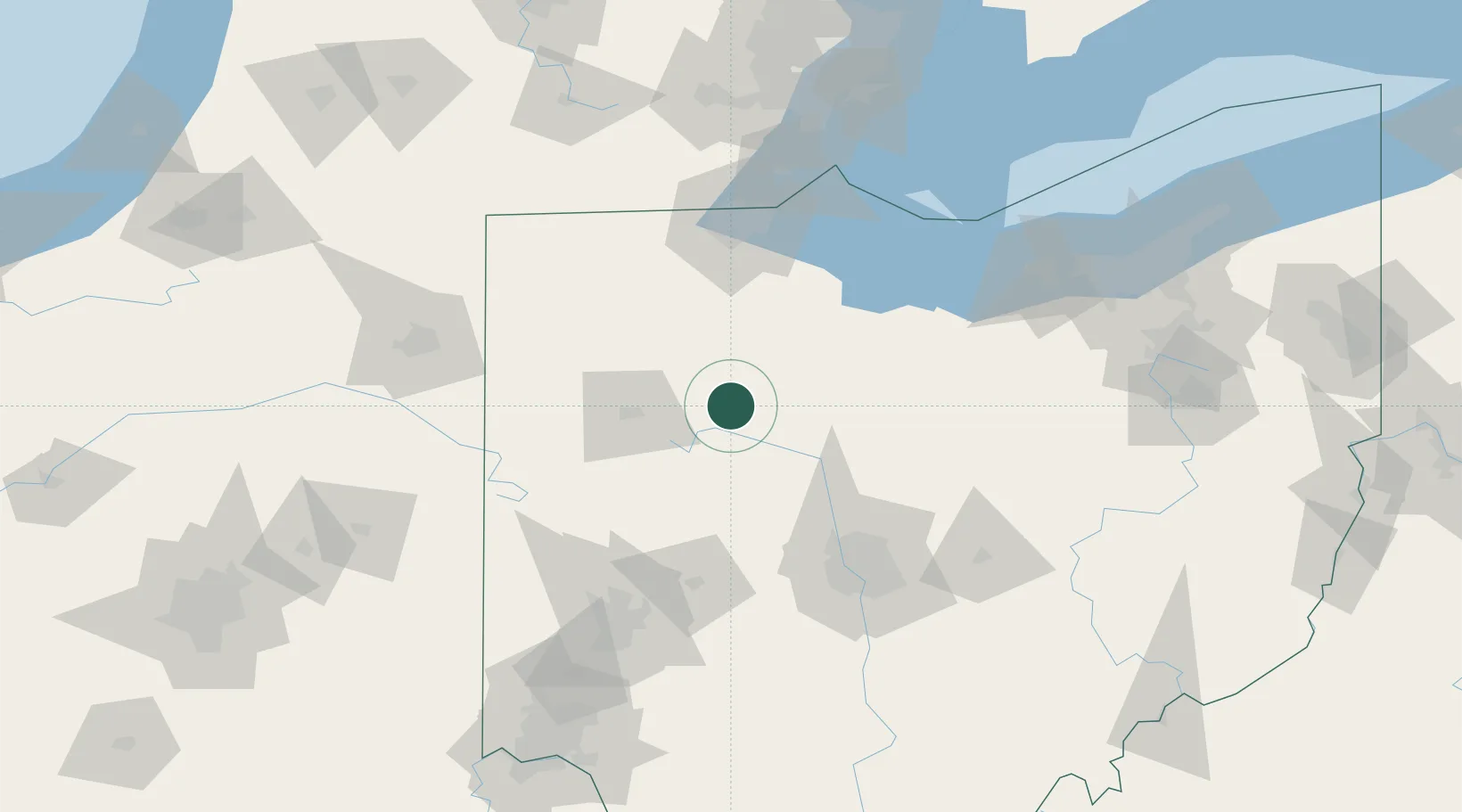
Hub Profile
Place type
Populated place
Region
Ohio
Population
862
Time zone
America/New_York
Elevation
288 m
Location
Nearby Logistics Neighbours
Cities
- 1Forest, Hardin11 km
- 2Ada16 km
- 3Marseilles23 km
- 4Lafayette27 km
- 5Harpster33 km
Ports
- 1Port Clinton100 km
- 2Toledo103 km
- 3Sandusky107 km
- 4Huron114 km
- 5Put In Bay118 km
Airports
Trade Zones
- 1FTZ No. 151 Findlay29 km
- 2FTZ No. 008 Toledo97 km
- 3FTZ No. 138 Franklin County123 km
- 4FTZ No. 100 Dayton123 km
- 5FTZ No. 182 Fort Wayne143 km
DatabookThe Record of Consolidated Knowledge
United States beyond logistics?