UN/LOCODE hub · United States
USLEU
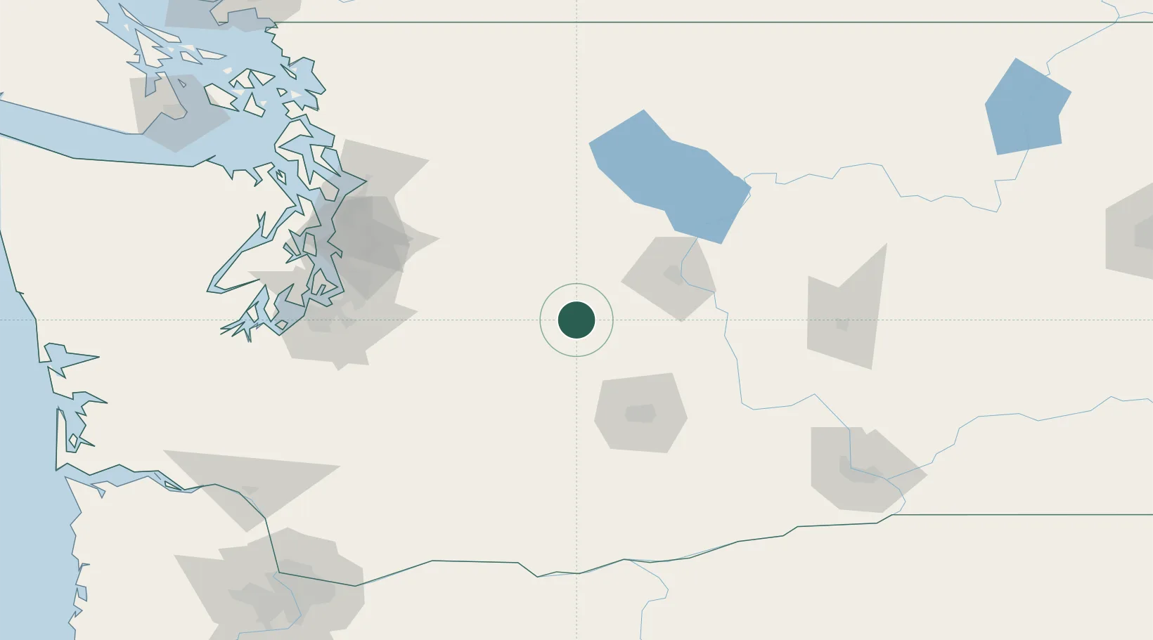
Cle Elum
47.1833°, -120.9167°
1,901
Population
2
Transport functions
Transport Functions
Road
Multimodal
Hub Profile
Place type
Populated place
Region
Washington
Population
1,901
Time zone
America/Los_Angeles
Elevation
583 m
Location
Nearby Logistics Neighbours
Ports
- 1Tacoma114 km
- 2Seattle116 km
- 3Point Wells130 km
- 4Everett133 km
- 5Mukilteo134 km
Airports
Trade Zones
- 1FTZ No. 086 Tacoma113 km
- 2FTZ No. 203 Moses Lake120 km
- 3FTZ No. 212 Tacoma122 km
- 4FTZ No. 005 Seattle127 km
- 5FTZ No. 085 Everett133 km
DatabookThe Record of Consolidated Knowledge
United States beyond logistics?