Transport Functions
Port
Rail
Road
Multimodal
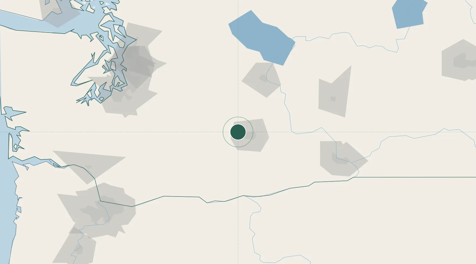
Hub Profile
Place type
Populated place
Region
Washington
Population
428
Time zone
America/Los_Angeles
Elevation
533 m
Location
Nearby Logistics Neighbours
Cities
- 1Naches6 km
- 2Selah14 km
- 3Union Gap22 km
- 4Moxee City29 km
- 5Harrah32 km
Ports
- 1The Dalles124 km
- 2Tacoma147 km
- 3Seattle161 km
- 4Olympia173 km
- 5Washougal175 km
Airports
Trade Zones
- 1FTZ No. 203 Moses Lake116 km
- 2FTZ No. 086 Tacoma146 km
- 3FTZ No. 212 Tacoma153 km
- 4FTZ No. 005 Seattle171 km
- 5FTZ No. 216 Olympia175 km
DatabookThe Record of Consolidated Knowledge
United States beyond logistics?