UN/LOCODE hub · United States
USYNA

Naches

46.7167°, -120.6833°
805
Population
3
Transport functions

Transport Functions

Port
Road
Multimodal
UN/LOCODE

Hub Profile

Place type
Populated place
GeoNames
Region
Washington
GeoNames
Population
805
GeoNames
Time zone
America/Los_Angeles
GeoNames
Elevation
449 m
GeoNames

Location

Location of USYNA
Natural Earth 10m (public domain) · Washington · USYNA · 46.72, -120.68GoogleOSMYandex

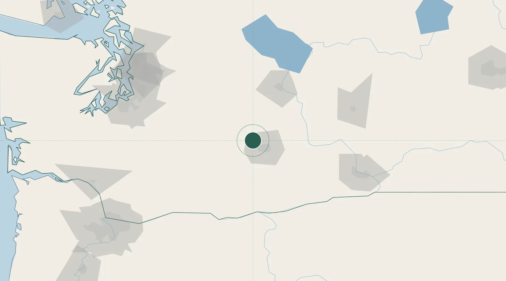
Nearby Logistics Neighbours

Cities
  1. 1Cowiche6 km
  2. 2Selah15 km
  3. 3Union Gap25 km
  4. 4Moxee City31 km
  5. 5Harrah37 km
Nearest neighbours — logibook spatial index (haversine) over the source coordinates
Ports
  1. 1The Dalles130 km
  2. 2Tacoma146 km
  3. 3Seattle159 km
  4. 4Olympia173 km
  5. 5Port Orchard173 km
Nearest neighbours — logibook spatial index (haversine) over the source coordinates
Airports
  1. 1Yakima Air Terminal McAllister Field20 km
  2. 2Pangborn Memorial Airport84 km
  3. 3Grant County International Airport117 km
  4. 4Columbia Gorge Regional Airport128 km
  5. 5Tri Cities Airport130 km
Nearest neighbours — logibook spatial index (haversine) over the source coordinates
Trade Zones
  1. 1FTZ No. 203 Moses Lake112 km
  2. 2FTZ No. 086 Tacoma145 km
  3. 3FTZ No. 212 Tacoma152 km
  4. 4FTZ No. 005 Seattle169 km
  5. 5FTZ No. 216 Olympia174 km
Nearest neighbours — logibook spatial index (haversine) over the source coordinates
DatabookThe Record of Consolidated Knowledge
United States beyond logistics?
Browse databook

All Sources

LocationsUN/LOCODE
UN/LOCODE — free
LocationsGeoNames
CC BY 4.0
Portsthe NGA World Port Index
Public domain (US gov)
AirportsOurAirports
Public domain
Trade Zonesthe World Bank SEZ database
CC BY 4.0
Trade ZonesOpen Zone Map
CC BY
← United States locations