Transport Functions
Rail
Road
Multimodal
Hub Profile
Place type
Populated place
Region
Washington
Population
7,682
Time zone
America/Los_Angeles
Elevation
341 m
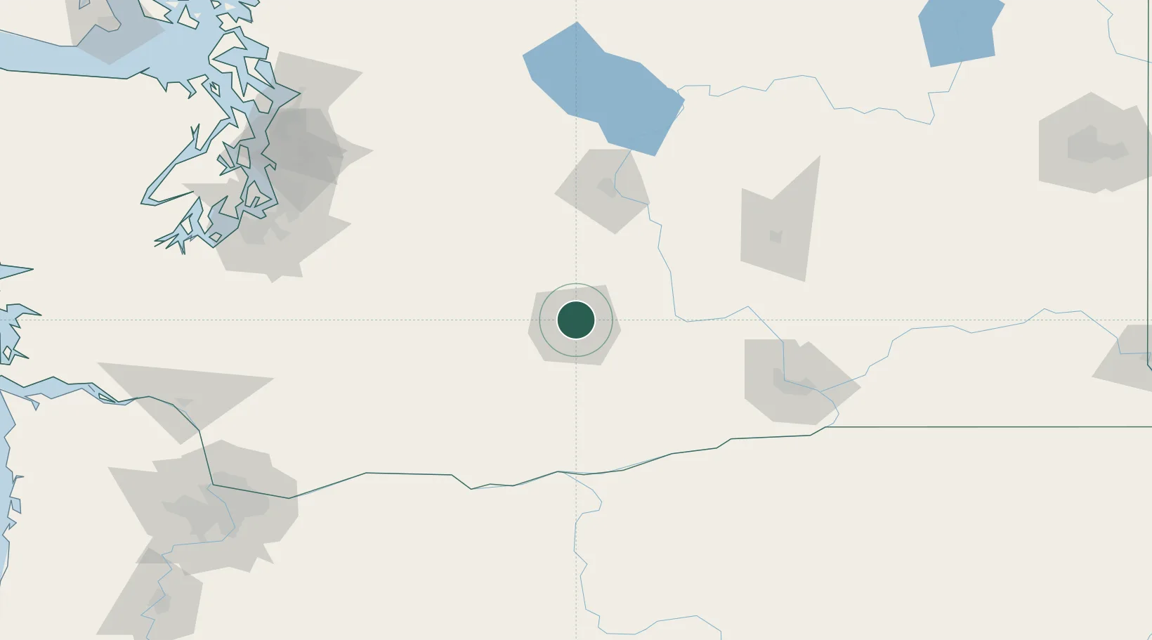
Location
Nearby Logistics Neighbours
Cities
- 1Union Gap12 km
- 2Cowiche14 km
- 3Naches15 km
- 4Moxee City16 km
- 5Harrah28 km
Ports
- 1The Dalles128 km
- 2Tacoma160 km
- 3Seattle173 km
- 4Washougal185 km
- 5Olympia187 km
Airports
Trade Zones
- 1FTZ No. 203 Moses Lake104 km
- 2FTZ No. 086 Tacoma159 km
- 3FTZ No. 212 Tacoma167 km
- 4FTZ No. 005 Seattle183 km
- 5FTZ No. 216 Olympia189 km
DatabookThe Record of Consolidated Knowledge
United States beyond logistics?