UN/LOCODE hub · United States
USJOW
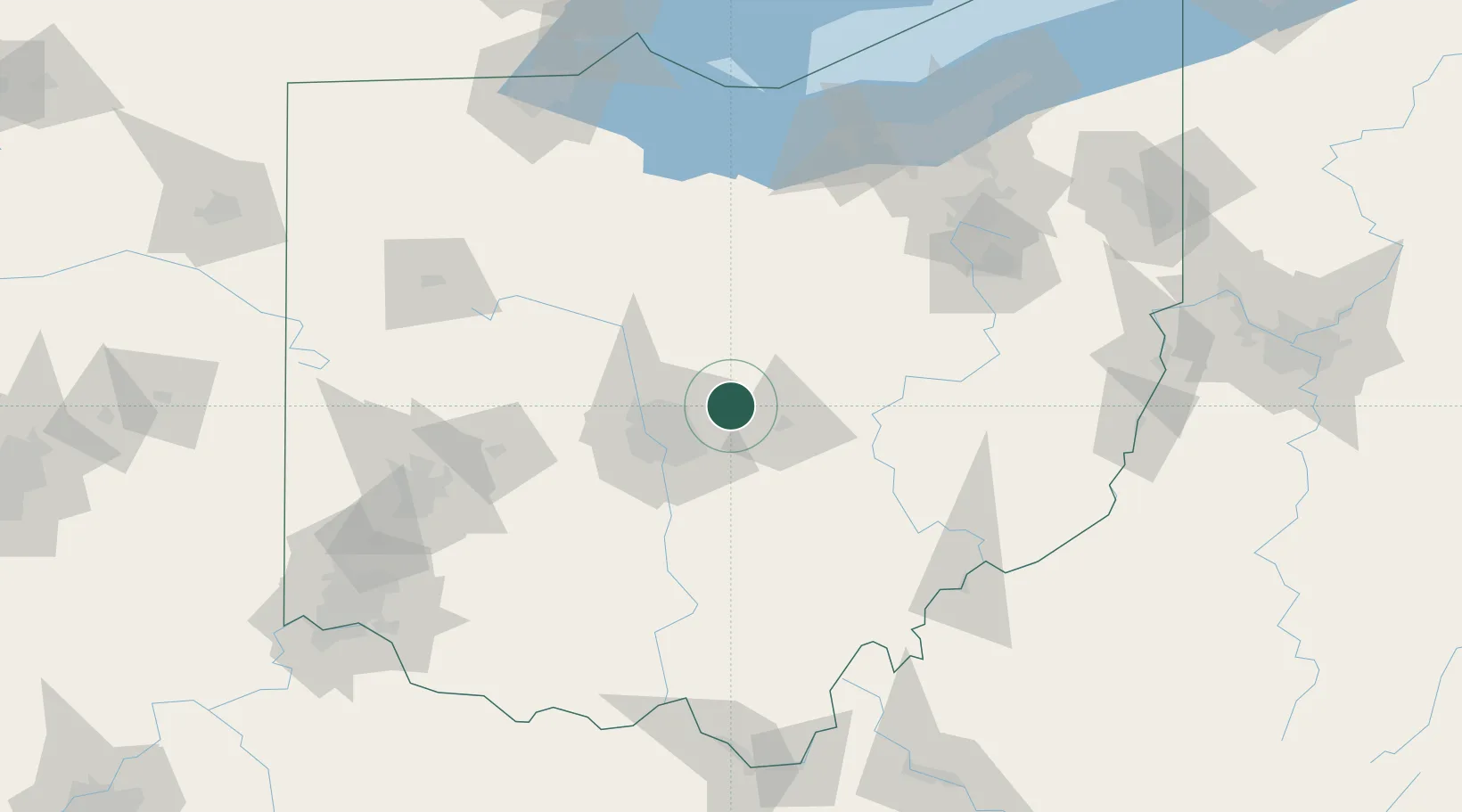
Johnstown
40.1500°, -82.6833°
4,918
Population
3
Transport functions
Transport Functions
Rail
Road
Multimodal
Hub Profile
Place type
Populated place
Region
Ohio
Population
4,918
Time zone
America/New_York
Elevation
351 m
Location
Nearby Logistics Neighbours
Cities
- 1Centerburg17 km
- 2Granville17 km
- 3Blacklick21 km
- 4Etna22 km
- 5Rickenbacker International Apt24 km
Ports
- 1Huron139 km
- 2Sandusky145 km
- 3Vermilion145 km
- 4Lorain152 km
- 5Port Clinton153 km
Airports
Trade Zones
- 1FTZ No. 138 Franklin County43 km
- 2FTZ No. 181 Akron Canton120 km
- 3FTZ No. 054 Clinton County124 km
- 4FTZ No. 151 Findlay131 km
- 5FTZ No. 100 Dayton142 km
DatabookThe Record of Consolidated Knowledge
United States beyond logistics?