UN/LOCODE hub · United States
USIPI
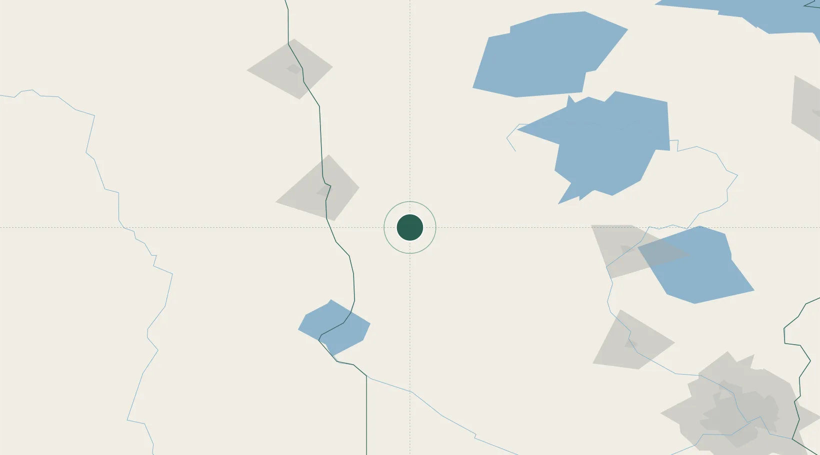
Pelican Rapids
46.5667°, -96.0833°
2,461
Population
2
Transport functions
Transport Functions
Rail
Road
Hub Profile
Place type
Populated place
Region
Minnesota
Population
2,461
Time zone
America/Chicago
Elevation
398 m
Location
Nearby Logistics Neighbours
Ports
- 1Duluth305 km
- 2Superior307 km
- 3Two Harbors341 km
- 4Washburn397 km
- 5Ashland399 km
Airports
- 1Hector International Airport68 km
- 2Chandler Field94 km
- 3Bemidji Regional Airport136 km
- 4Brainerd Lakes Regional Airport151 km
- 5Thief River Falls Regional Airport167 km
Trade Zones
- 1FTZ No. 267 Fargo75 km
- 2FTZ No. 103 Grand Forks171 km
- 3FTZ No. 259 Koochiching County232 km
- 4FTZ No. 119 Minneapolis-St. Paul283 km
- 5FTZ No. 051 Duluth293 km
DatabookThe Record of Consolidated Knowledge
United States beyond logistics?