Transport Functions
Port
Hub Profile
Place type
Populated place
Region
Minnesota
Time zone
America/Chicago
Elevation
467 m
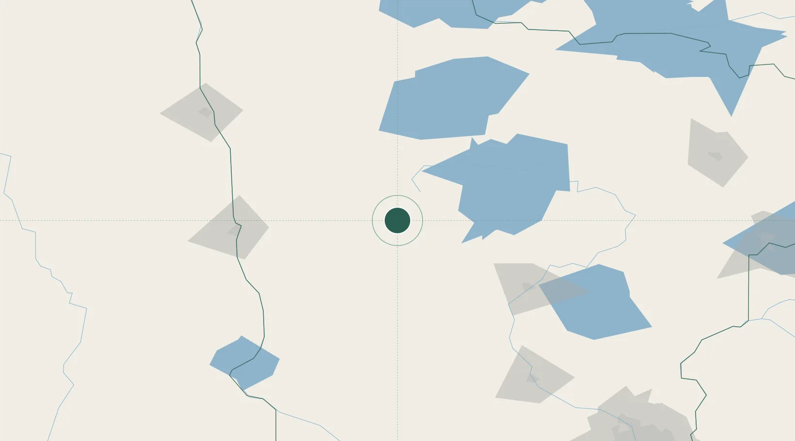
Location
Nearby Logistics Neighbours
Ports
- 1Duluth251 km
- 2Superior254 km
- 3Two Harbors283 km
- 4Washburn344 km
- 5Ashland346 km
Airports
- 1Bemidji Regional Airport69 km
- 2Hector International Airport109 km
- 3Brainerd Lakes Regional Airport114 km
- 4Chandler Field122 km
- 5Thief River Falls Regional Airport136 km
Trade Zones
- 1FTZ No. 267 Fargo121 km
- 2FTZ No. 259 Koochiching County166 km
- 3FTZ No. 103 Grand Forks171 km
- 4FTZ No. 051 Duluth239 km
- 5FTZ No. 119 Minneapolis-St. Paul277 km
DatabookThe Record of Consolidated Knowledge
United States beyond logistics?