UN/LOCODE hub · United States
USMA5
Mahnomen
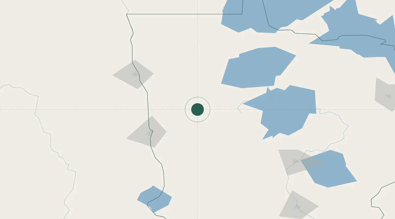
47.3000°, -95.9667°
1,222
Population
2
Transport functions
Transport Functions
Rail
Road
Hub Profile
Place type
Provincial seat
Region
Minnesota
Population
1,222
Time zone
America/Chicago
Elevation
369 m
Location
Nearby Logistics Neighbours
Ports
- 1Duluth299 km
- 2Superior302 km
- 3Two Harbors328 km
- 4Washburn392 km
- 5Bayfield394 km
Airports
Trade Zones
- 1FTZ No. 267 Fargo91 km
- 2FTZ No. 103 Grand Forks113 km
- 3FTZ No. 259 Koochiching County164 km
- 4FTZ No. 051 Duluth288 km
- 5Winnipegs Centreport Canada301 km
DatabookThe Record of Consolidated Knowledge
United States beyond logistics?