UN/LOCODE hub · United States
USCL7

Carlisle, Spartanburg

35.0500°, -81.9500°
2
Transport functions

Transport Functions

Road
Multimodal
UN/LOCODE

Hub Profile

Region
SC
GeoNames

Location

Location of USCL7
Natural Earth 10m (public domain) · SC · USCL7 · 35.05, -81.95GoogleOSMYandex

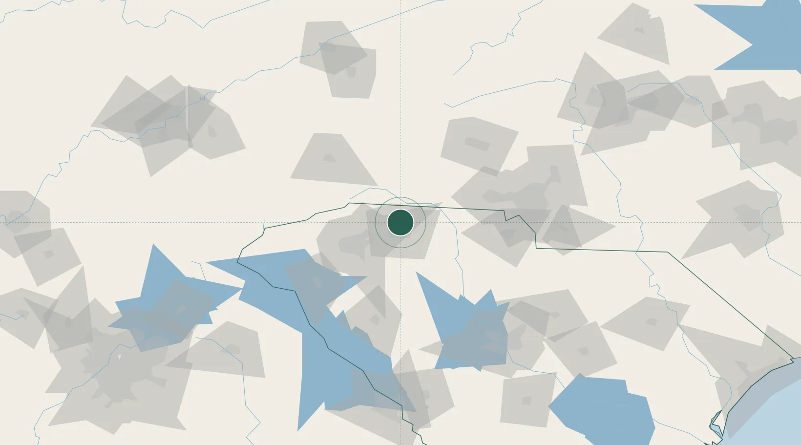
Nearby Logistics Neighbours

Cities
  1. 1Mayo10 km
  2. 2New Prospect11 km
  3. 3White Stone21 km
  4. 4Landrum25 km
  5. 5Pacolet26 km
Nearest neighbours — logibook spatial index (haversine) over the source coordinates
Ports
  1. 1Georgetown309 km
  2. 2Charleston314 km
  3. 3Beaufort314 km
  4. 4Port Royal321 km
  5. 5Savannah340 km
Nearest neighbours — logibook spatial index (haversine) over the source coordinates
Airports
  1. 1Greenville-Spartanburg International Airport30 km
  2. 2Greenville Downtown Airport43 km
  3. 3Asheville Regional Airport69 km
  4. 4Hickory Regional Airport92 km
  5. 5Anderson Regional Airport93 km
Nearest neighbours — logibook spatial index (haversine) over the source coordinates
Trade Zones
  1. 1FTZ No. 038 Spartanburg County33 km
  2. 2FTZ No. 057 Mecklenburg County82 km
  3. 3FTZ No. 127 West Columbia140 km
  4. 4FTZ No. 204 Tri-Cities165 km
  5. 5FTZ No. 230 Piedmont Triad Area206 km
Nearest neighbours — logibook spatial index (haversine) over the source coordinates
DatabookThe Record of Consolidated Knowledge
United States beyond logistics?
Browse databook

All Sources

LocationsUN/LOCODE
UN/LOCODE — free
Portsthe NGA World Port Index
Public domain (US gov)
AirportsOurAirports
Public domain
Trade Zonesthe World Bank SEZ database
CC BY 4.0
Trade ZonesOpen Zone Map
CC BY
← United States locations