UN/LOCODE hub · United States
USLCV
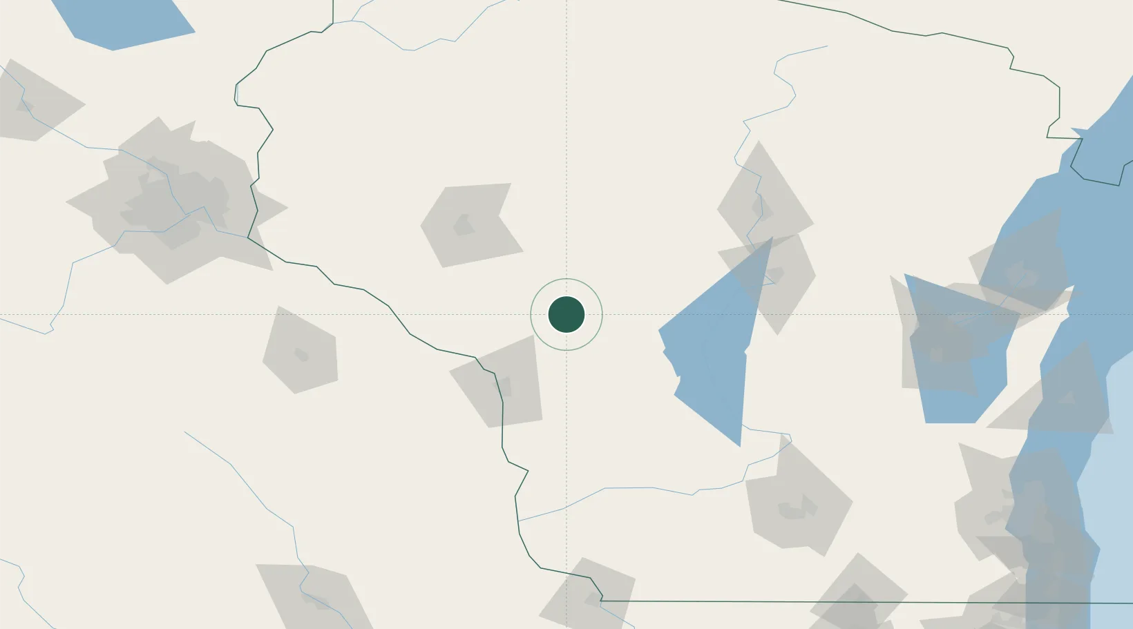
Black River Falls
44.2833°, -90.8500°
3,564
Population
2
Transport functions
Transport Functions
Road
Multimodal
Hub Profile
Place type
Provincial seat
Region
Wisconsin
Population
3,564
Time zone
America/Chicago
Elevation
242 m
Location
Nearby Logistics Neighbours
Airports
- 1La Crosse Regional Airport56 km
- 2Volk Field61 km
- 3Chippewa Valley Regional Airport82 km
- 4Central Wisconsin Airport109 km
- 5Wausau Downtown Airport120 km
Trade Zones
DatabookThe Record of Consolidated Knowledge
United States beyond logistics?