Transport Functions
Rail
Road
Multimodal
Hub Profile
Place type
Populated place
Region
New York
Time zone
America/New_York
Elevation
189 m
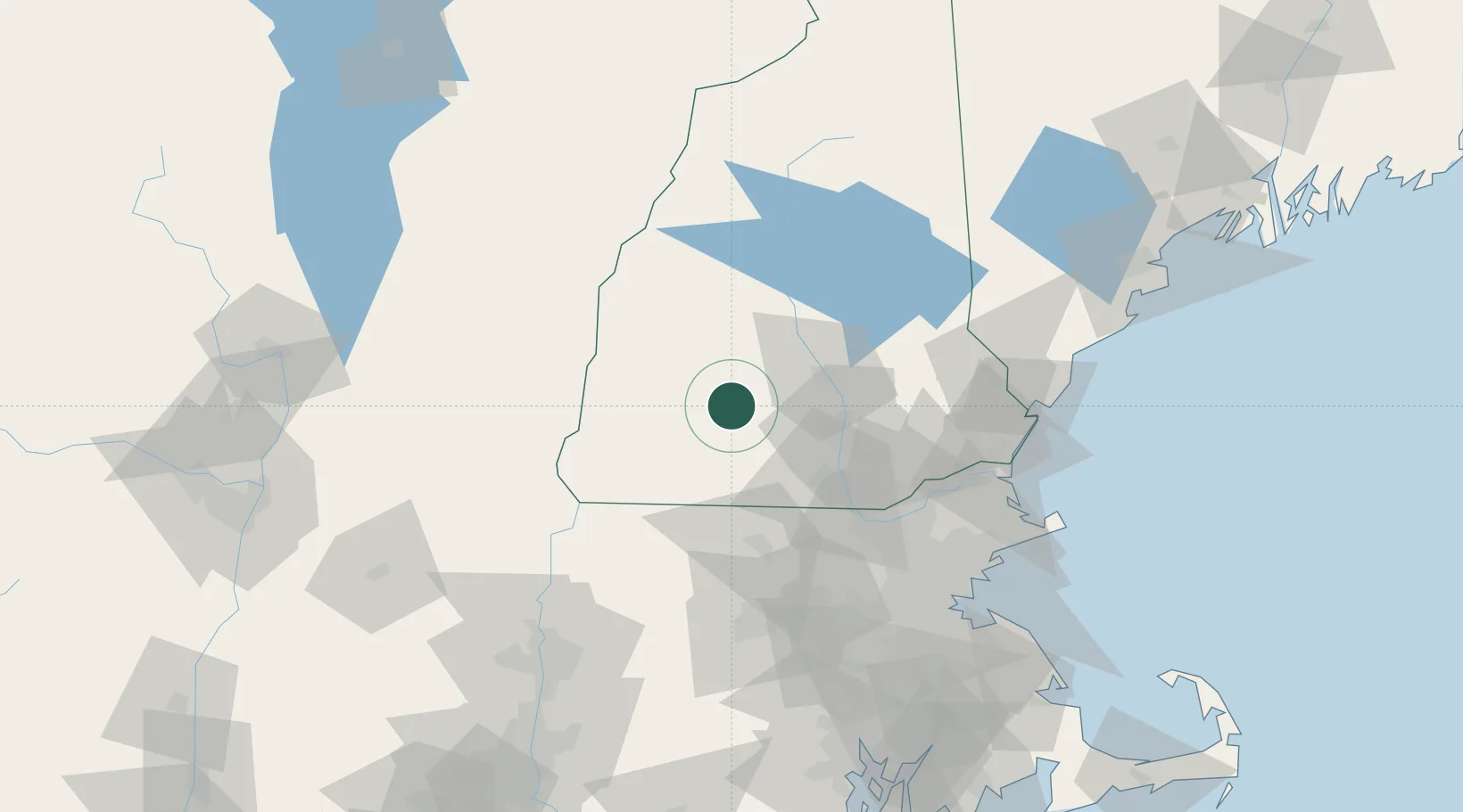
Location
Nearby Logistics Neighbours
Cities
- 1Lyndeborough24 km
- 2Goffstown25 km
- 3Bow Center26 km
- 4Peterborough27 km
- 5Sullivan29 km
Ports
- 1Newburyport89 km
- 2Portsmouth92 km
- 3Beverly103 km
- 4Salem104 km
- 5Lynn105 km
Airports
Trade Zones
- 1FTZ No. 268 Brattleboro64 km
- 2FTZ No. 081 Portsmouth84 km
- 3FTZ No. 027 Boston108 km
- 4FTZ No. 201 Holyoke119 km
- 5FTZ No. 071 Windsor Locks144 km
DatabookThe Record of Consolidated Knowledge
United States beyond logistics?