UN/LOCODE hub · United States
USGFW
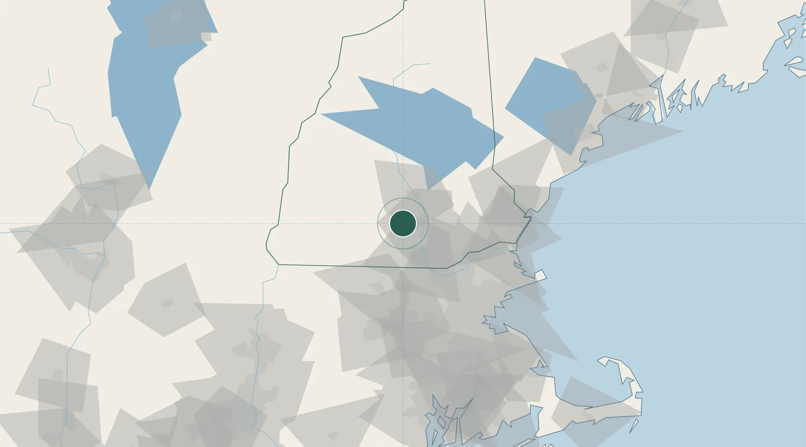
Goffstown
43.0167°, -71.6000°
3,196
Population
1
Transport functions
Transport Functions
Rail
Hub Profile
Place type
Populated place
Region
New Hampshire
Population
3,196
Time zone
America/New_York
Elevation
95 m
Location
Nearby Logistics Neighbours
Cities
- 1Bow Center13 km
- 2Hooksett14 km
- 3Allenstown18 km
- 4Pembroke18 km
- 5Lyndeborough19 km
Ports
- 1Newburyport64 km
- 2Portsmouth70 km
- 3Beverly79 km
- 4Salem81 km
- 5Lynn82 km
Airports
Trade Zones
- 1FTZ No. 081 Portsmouth62 km
- 2FTZ No. 268 Brattleboro83 km
- 3FTZ No. 027 Boston88 km
- 4FTZ No. 201 Holyoke127 km
- 5FTZ No. 105 Providence and North Kingstown134 km
DatabookThe Record of Consolidated Knowledge
United States beyond logistics?