Transport Functions
Port
Road
Multimodal
Hub Profile
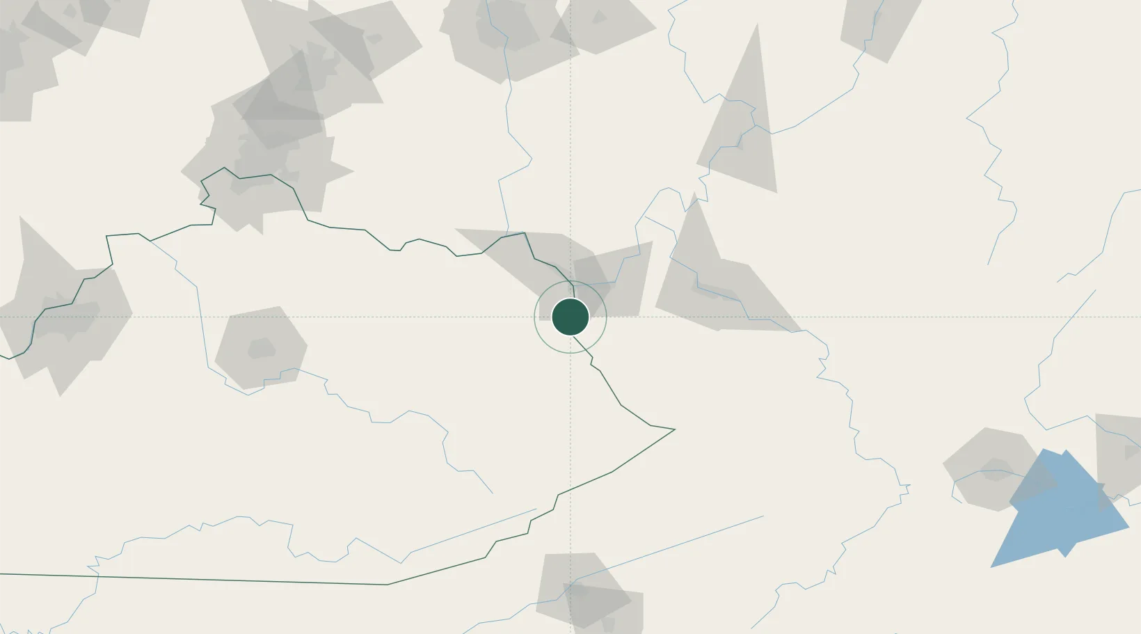
Place type
Populated place
Region
West Virginia
Population
527
Time zone
America/New_York
Elevation
179 m
Logistics facilities
1
Location
Nearby Logistics Neighbours
Ports
- 1Huron353 km
- 2Vermilion357 km
- 3Sandusky358 km
- 4Lorain362 km
- 5Port Clinton367 km
Airports
Trade Zones
- 1FTZ No. 229 Charleston79 km
- 2FTZ No. 054 Clinton County168 km
- 3FTZ No. 138 Franklin County179 km
- 4FTZ No. 046 CIncinnati192 km
- 5FTZ No. 204 Tri-Cities195 km
DatabookThe Record of Consolidated Knowledge
United States beyond logistics?