Transport Functions
Rail
Road
Hub Profile
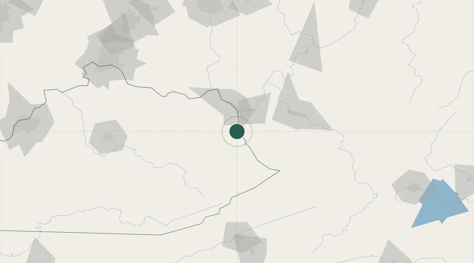
Place type
Populated place
Region
West Virginia
Population
683
Time zone
America/New_York
Elevation
176 m
Location
Nearby Logistics Neighbours
Ports
- 1Huron365 km
- 2Vermilion369 km
- 3Sandusky371 km
- 4Lorain374 km
- 5Port Clinton379 km
Airports
Trade Zones
- 1FTZ No. 229 Charleston81 km
- 2FTZ No. 054 Clinton County179 km
- 3FTZ No. 204 Tri-Cities183 km
- 4FTZ No. 138 Franklin County191 km
- 5FTZ No. 046 CIncinnati199 km
DatabookThe Record of Consolidated Knowledge
United States beyond logistics?