Transport Functions
Rail
Road
Hub Profile
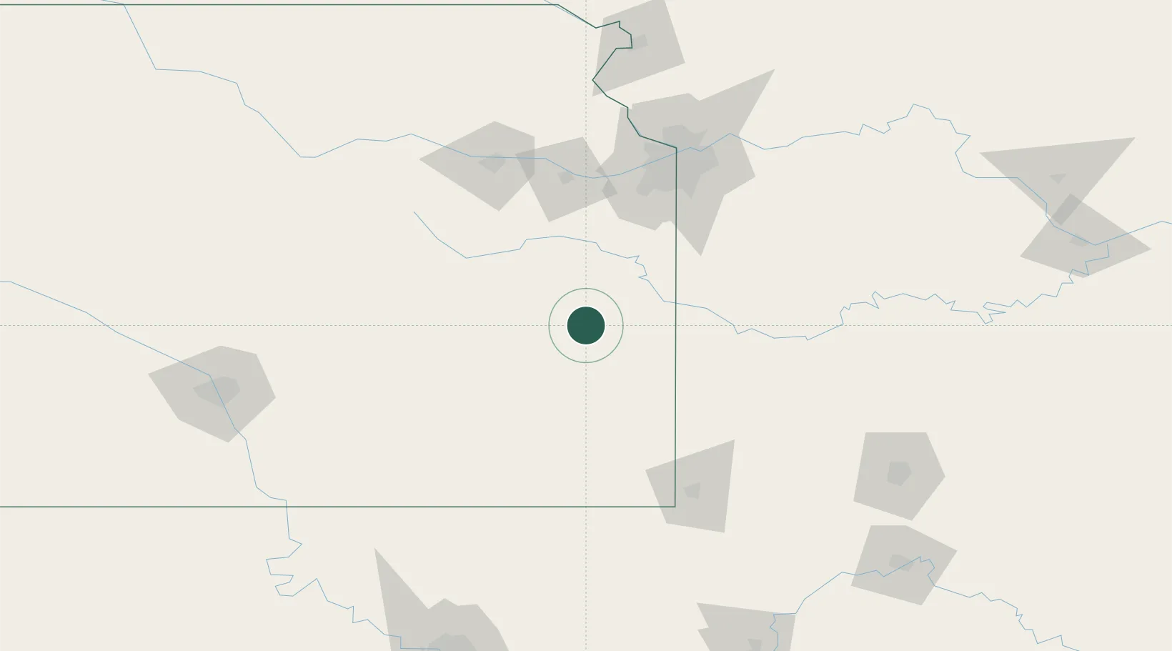
Place type
Populated place
Region
Kansas
Population
118
Time zone
America/Chicago
Elevation
321 m
Location
Nearby Logistics Neighbours
Ports
- 1Port Of Memphis557 km
- 2Calumet Harbor767 km
- 3Chicago769 km
- 4Indiana Harbor769 km
- 5Gary774 km
Airports
Trade Zones
- 1FTZ No. 015 Kansas City87 km
- 2FTZ No. 017 Kansas City115 km
- 3FTZ No. 225 Springfield201 km
- 4FTZ No. 053 Rogers County204 km
- 5FTZ No. 161 Sedgwick County233 km
DatabookThe Record of Consolidated Knowledge
United States beyond logistics?