Transport Functions
Rail
Road
Multimodal
Hub Profile
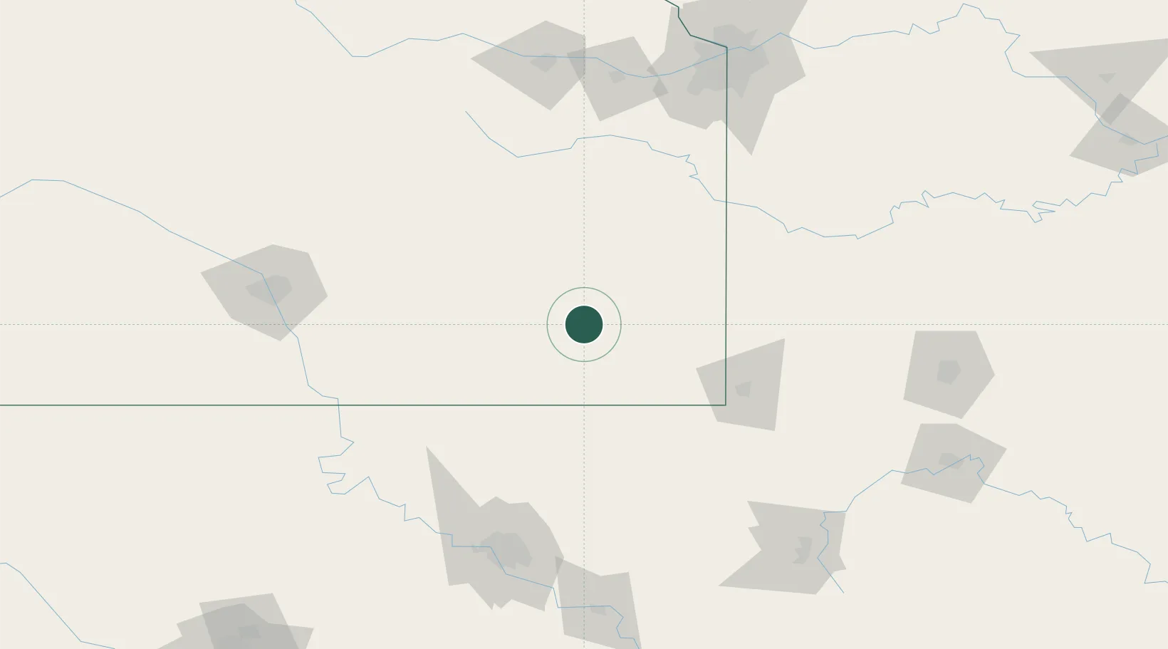
Place type
Populated place
Region
Kansas
Population
497
Time zone
America/Chicago
Elevation
317 m
Location
Nearby Logistics Neighbours
Ports
- 1Port Of Memphis546 km
- 2Calumet Harbor828 km
- 3Indiana Harbor830 km
- 4Chicago832 km
- 5Beaumont833 km
Airports
- 1Chanute Martin Johnson Airport21 km
- 2Joplin Regional Airport93 km
- 3Tulsa International Airport148 km
- 4McConnell Air Force Base160 km
- 5Topeka Regional Airport164 km
Trade Zones
- 1FTZ No. 053 Rogers County132 km
- 2FTZ No. 015 Kansas City159 km
- 3FTZ No. 017 Kansas City187 km
- 4FTZ No. 164 Muskogee195 km
- 5FTZ No. 161 Sedgwick County203 km
DatabookThe Record of Consolidated Knowledge
United States beyond logistics?