Transport Functions
Rail
Road
Multimodal
Hub Profile
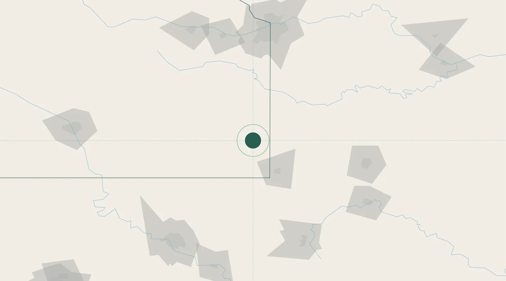
Place type
Provincial seat
Region
Kansas
Population
2,760
Time zone
America/Chicago
Elevation
299 m
Location
Nearby Logistics Neighbours
Ports
- 1Port Of Memphis500 km
- 2Calumet Harbor783 km
- 3Indiana Harbor785 km
- 4Chicago787 km
- 5Gary789 km
Airports
Trade Zones
- 1FTZ No. 015 Kansas City147 km
- 2FTZ No. 225 Springfield154 km
- 3FTZ No. 053 Rogers County159 km
- 4FTZ No. 017 Kansas City175 km
- 5FTZ No. 164 Muskogee206 km
DatabookThe Record of Consolidated Knowledge
United States beyond logistics?