Transport Functions
Multimodal
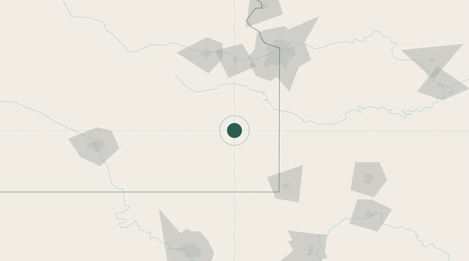
Hub Profile
Place type
Populated place
Region
Kansas
Population
543
Time zone
America/Chicago
Elevation
315 m
Location
Nearby Logistics Neighbours
Ports
- 1Port Of Memphis556 km
- 2Calumet Harbor787 km
- 3Indiana Harbor789 km
- 4Chicago790 km
- 5Gary794 km
Airports
Trade Zones
- 1FTZ No. 015 Kansas City108 km
- 2FTZ No. 017 Kansas City136 km
- 3FTZ No. 053 Rogers County183 km
- 4FTZ No. 225 Springfield204 km
- 5FTZ No. 161 Sedgwick County219 km
DatabookThe Record of Consolidated Knowledge
United States beyond logistics?