Transport Functions
Multimodal
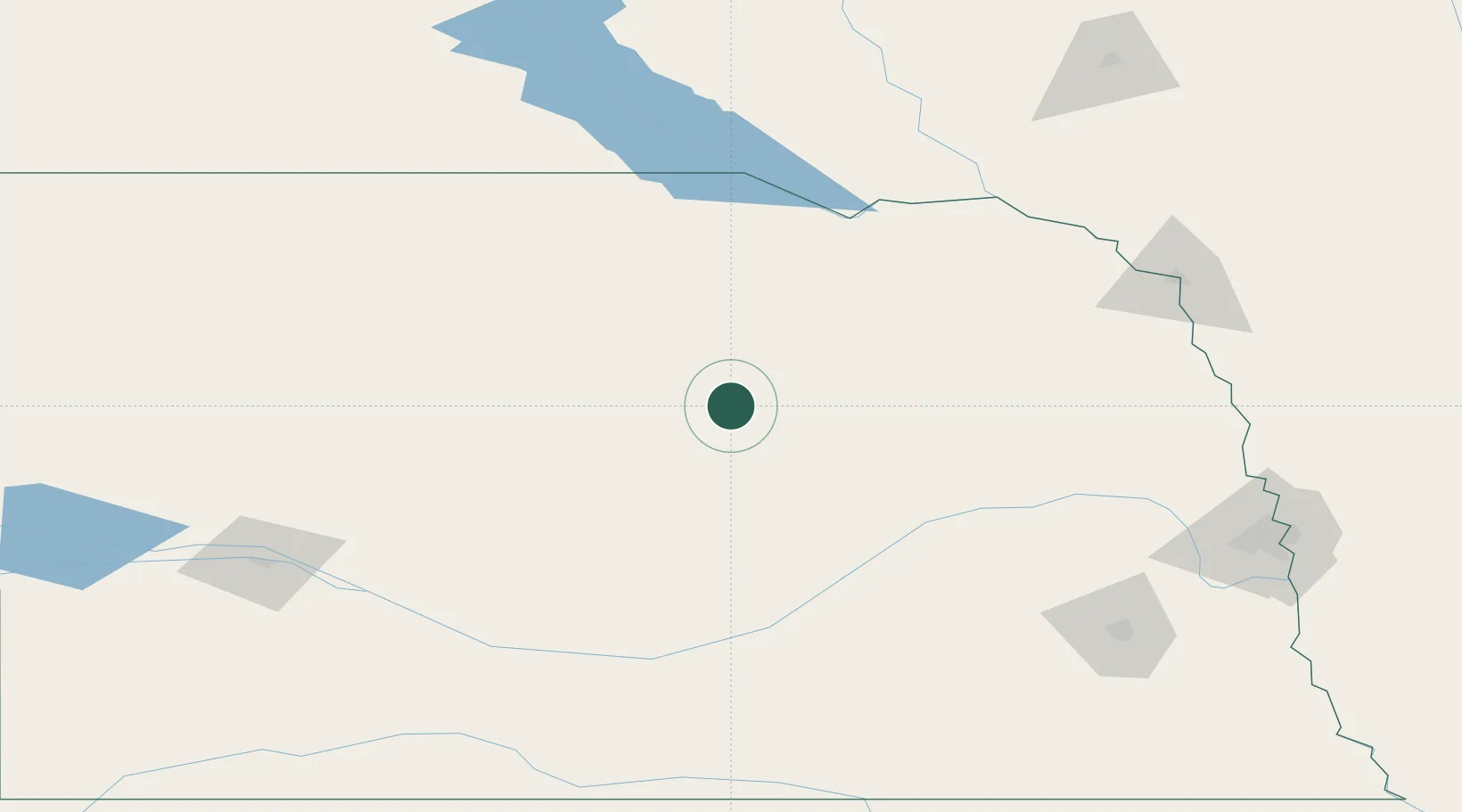
Hub Profile
Place type
Provincial seat
Region
Nebraska
Population
109
Time zone
America/Chicago
Elevation
663 m
Location
Nearby Logistics Neighbours
Cities
- 1Petersburg39 km
- 2Ewing45 km
- 3Loup City75 km
- 4Pierce92 km
- 5Platte Center97 km
Ports
- 1Superior746 km
- 2Duluth747 km
- 3Two Harbors791 km
- 4Ashland805 km
- 5Washburn809 km
Airports
Trade Zones
- 1FTZ No. 059 Lincoln187 km
- 2FTZ No. 220 Sioux Falls235 km
- 3FTZ No. 288 Northwest Iowa248 km
- 4FTZ No. 133 Quad-Cities, Iowa Illinois269 km
- 5FTZ No. 107 Polk County402 km
DatabookThe Record of Consolidated Knowledge
United States beyond logistics?