Transport Functions
Rail
Road
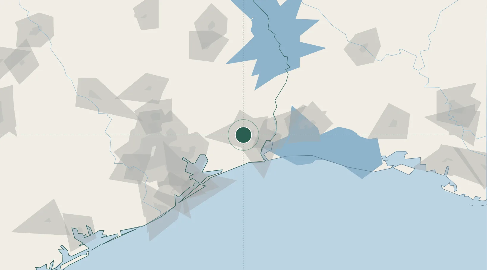
Hub Profile
Place type
Populated place
Region
Texas
Time zone
America/Chicago
Elevation
9 m
Location
Nearby Logistics Neighbours
Cities
- 1China15 km
- 2Vidor20 km
- 3Groves30 km
- 4Atreco33 km
- 5Port Arthur33 km
Ports
- 1Beaumont10 km
- 2Port Neches24 km
- 3Port Arthur33 km
- 4Orange43 km
- 5Sabine Pass46 km
Airports
Trade Zones
- 1FTZ No. 115 Beaumont2 km
- 2FTZ No. 116 Port Arthur27 km
- 3FTZ No. 117 Orange31 km
- 4FTZ No. 291 Cameron Parish68 km
- 5FTZ No. 087 Lake Charles80 km
DatabookThe Record of Consolidated Knowledge
United States beyond logistics?