Medium airport · United States

Beauregard Regional AirportKDRI
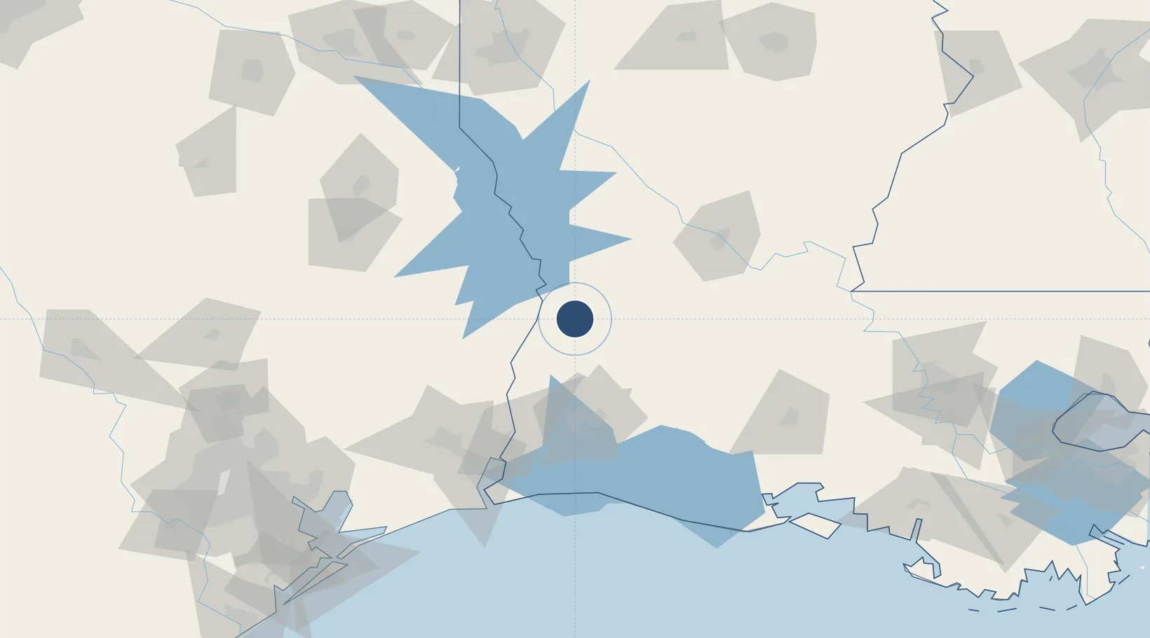
30.8317°, -93.3399°
5,494 ft
Longest runway
2
Runways
202 ft
Elevation

Runway & Layout

Beauregard Regional Airport runway & taxiway layout
Runway & taxiway layout — OpenStreetMap (ODbL) / OurAirports

Radio Frequencies

AWOS
118.225 MHz
AWOS 3
A/D
123.7 MHz
POLK APP/DEP
RDO
122.2 MHz
DE RIDDER RDO
UNIC
122.8 MHz
CTAF/UNICOM
OurAirports

Navaids

DR NDB Idder 385 kHz
OurAirports

Runways · 2

RunwayDimensions SurfaceTrue headingLit
18/36 5,494 × 100ft Asphalt / concrete 179°
14/32 4,218 × 60ft Asphalt 135°
OurAirports

Airport Specifications

IATA code
DRI
OurAirports
ICAO code
KDRI
OurAirports
Airport class
Medium airport
OurAirports
Scheduled service
No
OurAirports
Runway surface
Asphalt / concrete
OurAirports
Served city
DeRidder
OurAirports

Location

Location of KDRI
Natural Earth 10m (public domain) · Louisiana · KDRI · 30.83, -93.34GoogleOSMYandex

Nearby Logistics Neighbours

Airports
  1. 1Polk Army Air Field28 km
  2. 2Lake Charles Regional Airport79 km
  3. 3Alexandria International Airport93 km
  4. 4Esler Army Airfield / Esler Regional Airport118 km
  5. 5Jack Brooks Regional Airport118 km
Nearest neighbours — logibook spatial index (haversine) over the source coordinates
Cities
  1. 1Singer22 km
  2. 2DeQuincy43 km
  3. 3Kinder61 km
  4. 4Florien68 km
  5. 5Lake Charles69 km
Nearest neighbours — logibook spatial index (haversine) over the source coordinates
Ports
  1. 1Lake Charles69 km
  2. 2Orange91 km
  3. 3Port Neches109 km
  4. 4Beaumont110 km
  5. 5Port Arthur126 km
Nearest neighbours — logibook spatial index (haversine) over the source coordinates
Trade Zones
  1. 1FTZ No. 087 Lake Charles71 km
  2. 2FTZ No. 117 Orange93 km
  3. 3FTZ No. 115 Beaumont117 km
  4. 4FTZ No. 291 Cameron Parish118 km
  5. 5FTZ No. 116 Port Arthur133 km
Nearest neighbours — logibook spatial index (haversine) over the source coordinates
DatabookThe Record of Consolidated Knowledge
United States beyond logistics?
Browse databook

All Sources

AirportsOurAirports
Public domain
Portsthe NGA World Port Index
Public domain (US gov)
LocationsUN/LOCODE
UN/LOCODE — free
Trade Zonesthe World Bank SEZ database
CC BY 4.0
Trade ZonesOpen Zone Map
CC BY
InfrastructureOpenStreetMap
ODbL 1.0
← United States airports