UN/LOCODE hub · United States
USVDO

Vidor

30.1500°, -94.0000°
10,945
Population
2
Transport functions

Transport Functions

Rail
Road
UN/LOCODE

Hub Profile

Place type
Populated place
GeoNames
Region
Texas
GeoNames
Population
10,945
GeoNames
Time zone
America/Chicago
GeoNames
Elevation
7 m
GeoNames

Location

Location of USVDO
Natural Earth 10m (public domain) · Texas · USVDO · 30.15, -94.00GoogleOSMYandex

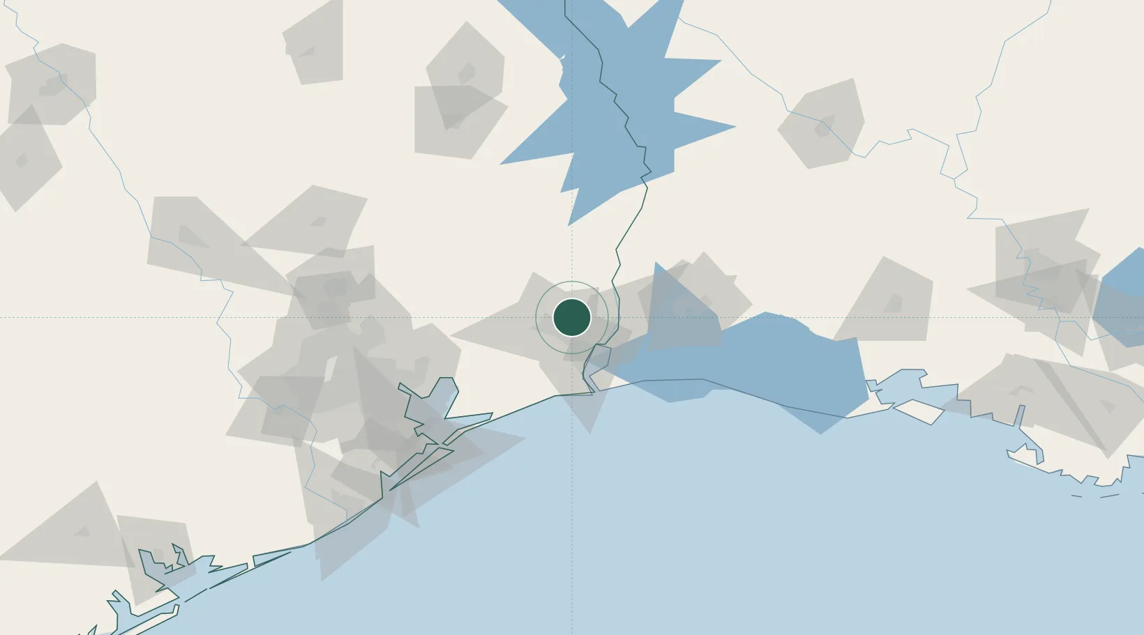
Nearby Logistics Neighbours

Cities
  1. 1Amelia20 km
  2. 2Atreco24 km
  3. 3West Orange25 km
  4. 4Groves25 km
  5. 5Port Arthur31 km
Nearest neighbours — logibook spatial index (haversine) over the source coordinates
Ports
  1. 1Beaumont11 km
  2. 2Port Neches17 km
  3. 3Orange27 km
  4. 4Port Arthur35 km
  5. 5Sabine Pass47 km
Nearest neighbours — logibook spatial index (haversine) over the source coordinates
Airports
  1. 1Jack Brooks Regional Airport22 km
  2. 2Lake Charles Regional Airport75 km
  3. 3Beauregard Regional Airport99 km
  4. 4Polk Army Air Field126 km
  5. 5Ellington Airport127 km
Nearest neighbours — logibook spatial index (haversine) over the source coordinates
Trade Zones
  1. 1FTZ No. 117 Orange13 km
  2. 2FTZ No. 115 Beaumont21 km
  3. 3FTZ No. 116 Port Arthur37 km
  4. 4FTZ No. 291 Cameron Parish59 km
  5. 5FTZ No. 087 Lake Charles62 km
Nearest neighbours — logibook spatial index (haversine) over the source coordinates
DatabookThe Record of Consolidated Knowledge
United States beyond logistics?
Browse databook

All Sources

LocationsUN/LOCODE
UN/LOCODE — free
LocationsGeoNames
CC BY 4.0
Portsthe NGA World Port Index
Public domain (US gov)
AirportsOurAirports
Public domain
Trade Zonesthe World Bank SEZ database
CC BY 4.0
Trade ZonesOpen Zone Map
CC BY
← United States locations