Seaport · United States
Port ArthurUSPOA
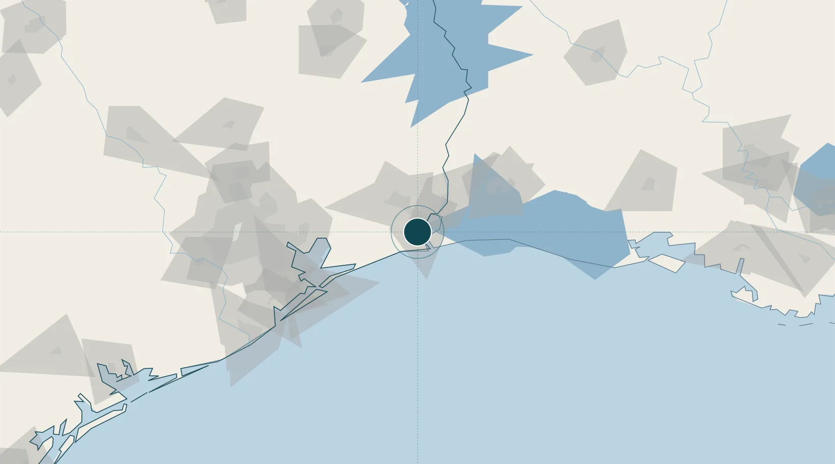
29.8333°, -93.9667°
11.0 m
Channel depth
16.6
Port liner connectivity
Channel & Berth Profile
Pilotage, Tugs & Services
Pilotage compulsoryYES
Pilotage availableYES
Pilotage advisableYES
Tug assistanceYES
Shore powerYES
Potable waterYES
Diesel bunkersYES
MedicalYES
Facilities & Capabilities
Container—
Ro-Ro—
Liquid bulk—
Dry bulk—
Oil terminal—
Break bulk—
Dry dockNO
RepairsNO
BunkeringYES
Rail linkYES
Dangerous cargo—
ISPS security—
Harbour Specifications
Harbour size
Medium
Harbour type
Canal or Lake
Shelter
Good
Water body
Gulf of Mexico; North Atlantic Ocean
Tidal range
0.6 m
Overhead limit
Yes
Pilotage
Yes
Liner Connectivity
16.6
PLSCI
Port Liner Shipping Connectivity Index for Port Arthur, as published by UNCTAD for the latest available quarter. Higher values indicate stronger scheduled liner-shipping integration.
Shown relative to the highest per-port PLSCI in the dataset (1,657.9).
Location
Nearby Logistics Neighbours
Ports
- 1Sabine Pass13 km
- 2Sabine16 km
- 3Port Neches19 km
- 4Beaumont30 km
- 5Orange36 km
Cities
- 1Groves12 km
- 2Atreco18 km
- 3Amelia33 km
- 4West Orange35 km
- 5Vidor35 km
Airports
Trade Zones
- 1FTZ No. 116 Port Arthur13 km
- 2FTZ No. 117 Orange34 km
- 3FTZ No. 115 Beaumont35 km
- 4FTZ No. 291 Cameron Parish40 km
- 5FTZ No. 087 Lake Charles71 km
DatabookThe Record of Consolidated Knowledge
United States beyond logistics?