Transport Functions
Rail
Road
Hub Profile
Place type
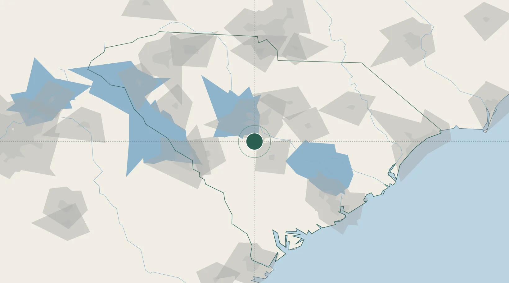
Populated place
Region
South Carolina
Population
891
Time zone
America/New_York
Elevation
108 m
Location
Nearby Logistics Neighbours
Ports
- 1Beaufort150 km
- 2Charleston153 km
- 3Port Royal157 km
- 4Georgetown173 km
- 5Savannah184 km
Airports
Trade Zones
DatabookThe Record of Consolidated Knowledge
United States beyond logistics?