UN/LOCODE hub · United States
USFJS

Fort Jackson

34.0333°, -81.0000°
2
Transport functions

Transport Functions

Road
Multimodal
UN/LOCODE

Hub Profile

Place type
Populated place
GeoNames
Region
South Carolina
GeoNames
Time zone
America/New_York
GeoNames
Elevation
81 m
GeoNames

Location

Location of USFJS
Natural Earth 10m (public domain) · South Carolina · USFJS · 34.03, -81.00GoogleOSMYandex

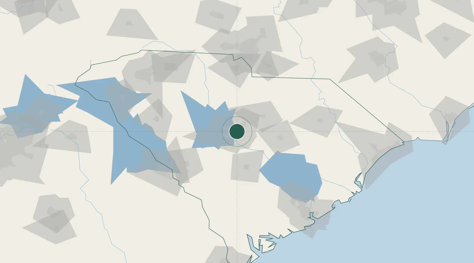
Nearby Logistics Neighbours

Cities
  1. 1Hopkins19 km
  2. 2Ridgeway30 km
  3. 3Gadsden32 km
  4. 4Swansea35 km
  5. 5Pelion38 km
Nearest neighbours — logibook spatial index (haversine) over the source coordinates
Ports
  1. 1Charleston172 km
  2. 2Georgetown175 km
  3. 3Beaufort181 km
  4. 4Port Royal188 km
  5. 5Savannah217 km
Nearest neighbours — logibook spatial index (haversine) over the source coordinates
Airports
  1. 1Jim Hamilton L.B. Owens Airport7 km
  2. 2Columbia Metropolitan Airport16 km
  3. 3Mc Entire Joint National Guard Base22 km
  4. 4Shaw Air Force Base49 km
  5. 5Orangeburg Municipal Airport65 km
Nearest neighbours — logibook spatial index (haversine) over the source coordinates
Trade Zones
  1. 1FTZ No. 127 West Columbia13 km
  2. 2FTZ No. 021 Dorchester County110 km
  3. 3FTZ No. 057 Mecklenburg County136 km
  4. 4FTZ No. 038 Spartanburg County149 km
  5. 5FTZ No. 104 Savannah216 km
Nearest neighbours — logibook spatial index (haversine) over the source coordinates
DatabookThe Record of Consolidated Knowledge
United States beyond logistics?
Browse databook

All Sources

LocationsUN/LOCODE
UN/LOCODE — free
Portsthe NGA World Port Index
Public domain (US gov)
AirportsOurAirports
Public domain
Trade Zonesthe World Bank SEZ database
CC BY 4.0
Trade ZonesOpen Zone Map
CC BY
← United States locations