Transport Functions
Rail
Road
Hub Profile
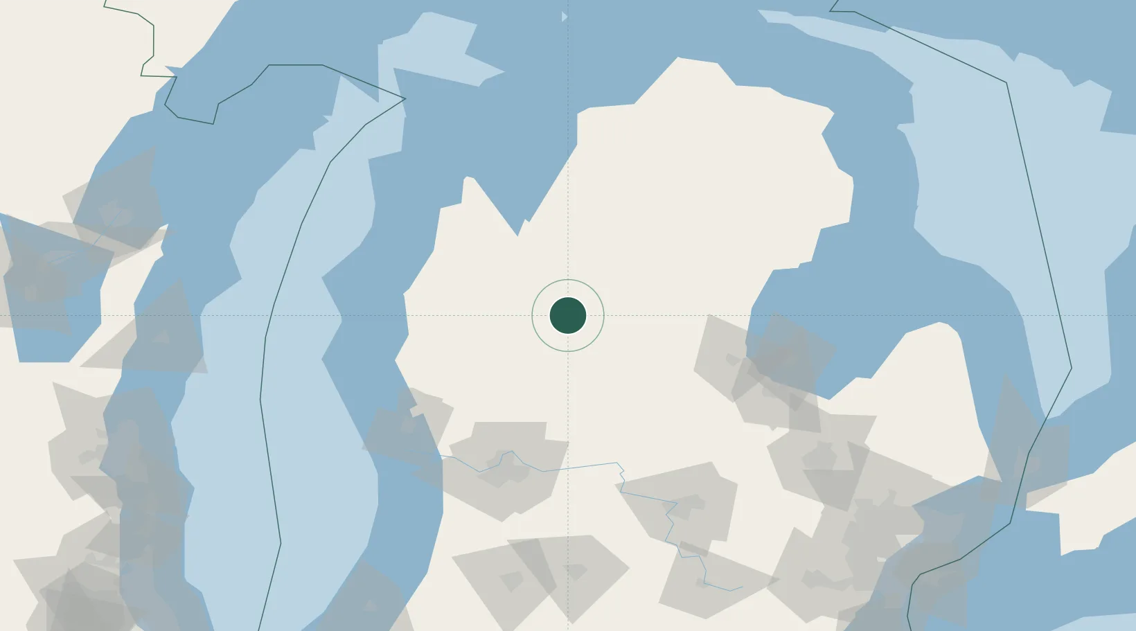
Place type
Populated place
Region
Michigan
Population
1,861
Time zone
America/Detroit
Elevation
307 m
Location
Nearby Logistics Neighbours
Cities
- 1Mecosta32 km
- 2McBain34 km
- 3Baldwin48 km
- 4White Cloud57 km
- 5Edmore58 km
Ports
- 1Manistee94 km
- 2Ludington96 km
- 3Traverse City101 km
- 4White Lake106 km
- 5Muskegon111 km
Airports
Trade Zones
- 1FTZ No. 189 Kent Ottawa/Muskegon Counties112 km
- 2FTZ No. 101 Clinton County114 km
- 3FTZ No. 019 Omaha138 km
- 4FTZ No. 284 Genesee County144 km
- 5FTZ No. 140 Flint155 km
DatabookThe Record of Consolidated Knowledge
United States beyond logistics?